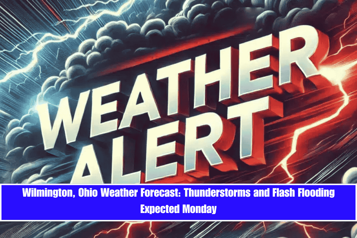
Thunderstorms are set to develop across the Ohio Valley on Monday afternoon, with Wilmington and surrounding areas facing the possibility of heavy rainfall and flash flooding.
The National Weather Service in Wilmington reports that showers and storms will begin after 11 a.m. and continue through the evening. There’s a 90% chance of rain, with locally heavy rainfall that may cause poor drainage and standing water in parts of Clinton County. Drivers along US-68, State Route 73, and I-71 should expect reduced visibility and slick roads during the afternoon commute.
Temperatures will peak near 71°F, with southwest winds between 7 and 11 mph. Rainfall could be heavy at times, particularly during thunderstorms. The storms may last overnight into Tuesday, with rainfall totals ranging from a tenth to a quarter inch, possibly more if storms stall.
Five-Day Outlook for Wilmington (June 9–13):
- Tuesday (June 10): Mostly sunny with a high of 75°F. Clear and calm evening, low around 58°F.
- Wednesday (June 11): Sunny and warmer, high near 81°F. Clear skies overnight with a low of 61°F.
- Thursday (June 12): Dry and hot, with a high of 84°F. Partly cloudy at night.
- Friday (June 13): Thunderstorms return late in the day, high of 84°F with a 40% chance of rain by evening.
Residents are encouraged to stay weather-aware, avoid flooded roads, and prepare for an active summer weather pattern, with more rain expected into the weekend.


