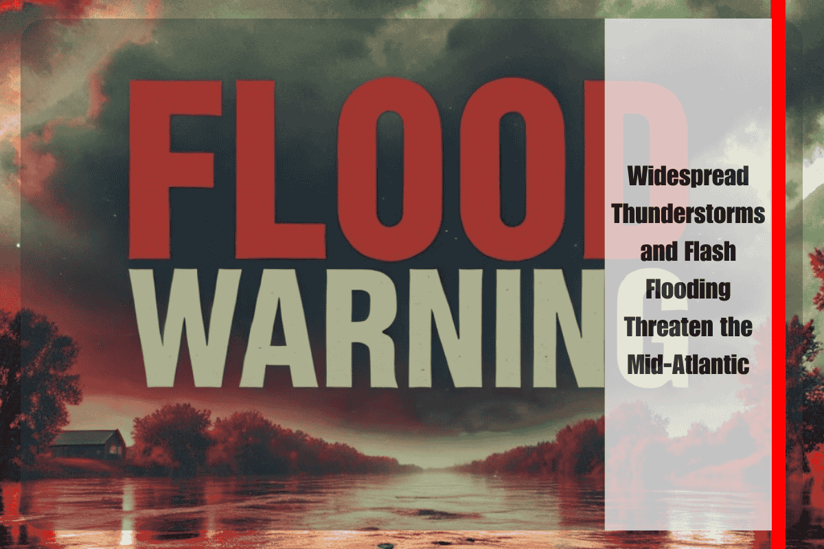
Philadelphia, PA – Residents across Pennsylvania, New Jersey, Delaware, and Maryland should brace for heavy thunderstorms Thursday afternoon and evening, with a growing risk of flash flooding, especially in urban and low-lying areas.
What to Expect
The National Weather Service in Mount Holly warns that storms will bring intense rainfall, with rates possibly exceeding 2 inches per hour. Overall, most areas can expect 2 to 4 inches of rain, but some spots could receive over 6 inches. The highest flood risk is in the Moderate Risk (Level 3 of 4) areas, including Philadelphia, Wilmington, Trenton, Baltimore, and nearby counties.
Flash Flooding and Dangerous Roads
With these storms, flash flooding is likely, particularly in areas near creeks, streams, and poor drainage zones—especially around metro areas. Drivers are advised to stay off flood-prone roads like I-95, Route 1, and smaller urban streets, as heavy downpours could make roads dangerous. The risk of flooding on these roads is high, and visibility could be severely reduced.
Wind Damage and Flash Flooding
While localized wind damage may occur in the afternoon and early evening, flooding remains the main concern. This is one of the most widespread flood risks of the summer for the Mid-Atlantic region, so it’s crucial to stay informed.
Safety Precautions
Residents should secure any loose belongings, monitor local weather alerts, and avoid unnecessary travel, especially during the peak storm hours. Emergency managers are urging everyone to stay safe and be prepared for worsening conditions.
Stay Updated
Keep an eye on weather updates throughout the day Thursday as conditions may evolve quickly, and further warnings or advisories could be issued.


