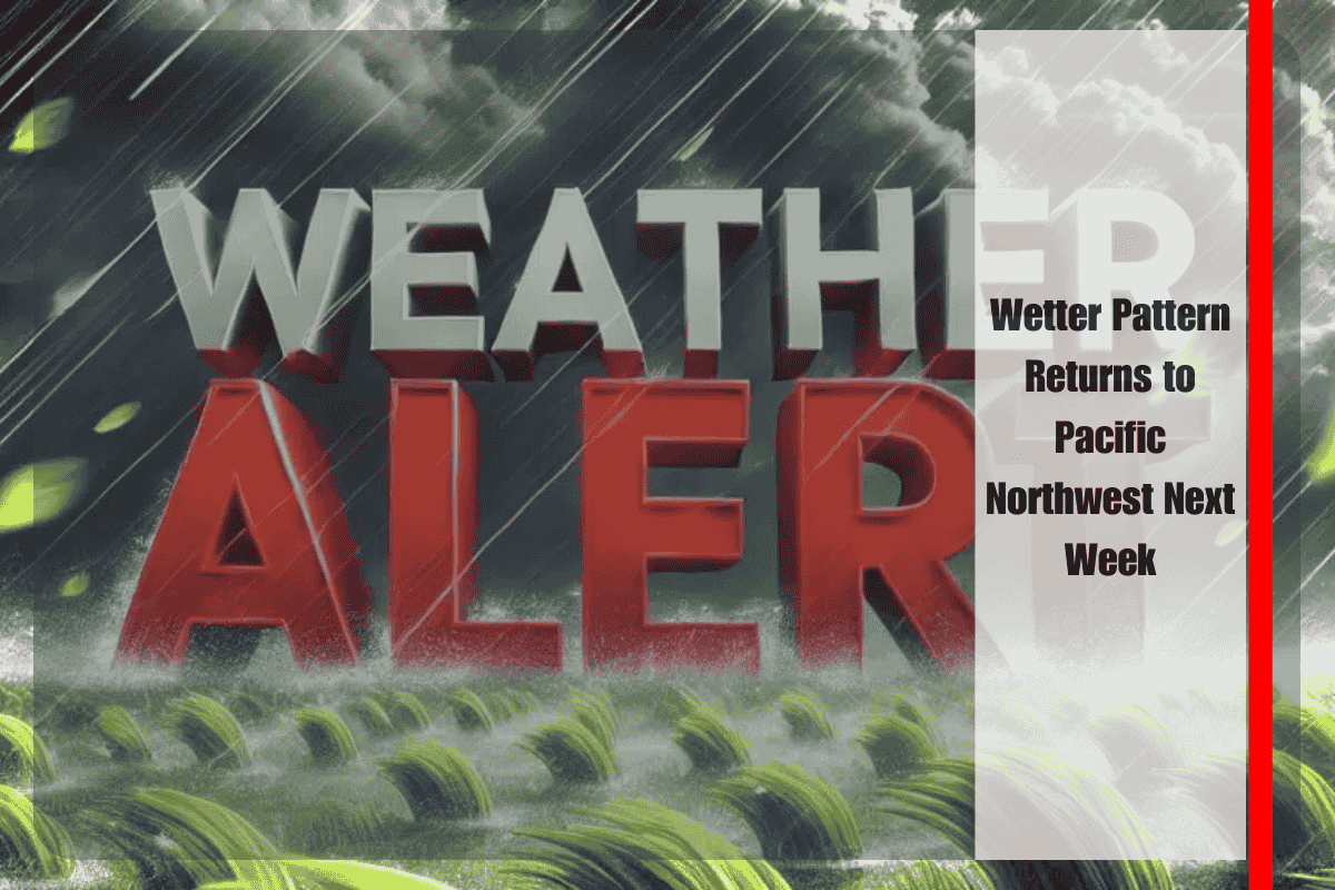
Seattle, Wash. – Rain is expected to make a stronger return to the Pacific Northwest next week as a wetter-than-normal pattern sets up across Washington and Oregon. The National Weather Service outlook highlights an increased chance of above-average precipitation from September 20 through September 26, bringing much-needed relief to dry late-summer conditions.
According to NOAA’s Climate Prediction Center, multiple storm systems are likely to track inland from the Pacific, spreading rain across the coastal ranges, Puget Sound, and the Cascades. While daily rainfall is not guaranteed, forecasters say the odds of recurring wet periods are elevated, especially in western Washington and northwestern Oregon.
Seattle, Tacoma, and Portland may see enough rain totals to dampen commutes and disrupt outdoor plans, while higher elevations in the Cascades are expected to receive steadier rainfall. The added precipitation should help improve streamflows and ease lingering wildfire risks. Eastern Washington and Oregon will likely remain drier, though occasional showers are possible.
Temperatures across the Northwest are forecast to stay near seasonal averages, keeping conditions mild compared with the widespread heat expected across much of the U.S. Residents are advised to keep rain gear handy and anticipate slick roads during the morning and evening rush hours.
Showers are expected to continue off and on through late next week, with additional updates likely as individual storm systems line up offshore.


