Kansas will be experiencing spotty thunderstorms and hot afternoons throughout the coming week. This pattern will bring daily rain chances without complete washouts, creating a mix of sunny and stormy weather for most of the state.
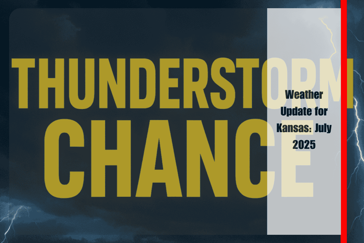
Weather Forecast for Kansas
According to the National Weather Service in Wichita, thunderstorms will develop every afternoon and evening in Central, South-Central, and Southeast Kansas, from Sunday to Wednesday. Expect highs between 88°F to 96°F, with the possibility of brief heavy rain and gusty winds, especially during stronger thunderstorms. While rain will be scattered, it may lead to slippery roads and occasional power outages in cities like Wichita, Hutchinson, and Winfield.
Stormy Days Ahead
During the late afternoon and evening, storms could bring heavy rain, lightning, and gusty winds. If you’re heading outside, keep an eye on weather alerts and have a backup plan for outdoor activities. Since roads may become slick during sudden downpours, driving cautiously is recommended.
Clear Skies and Heat by Thursday
By Thursday, the weather will shift, bringing clear skies and hotter conditions. Highs will climb into the upper 90s, especially in areas like Coffeyville and Arkansas City. This marks the end of the stormy period and the start of a drier, hotter pattern.
Safety Tips for Kansas Residents
While severe weather is not expected, residents should stay alert for sudden changes in weather, particularly near flooded intersections or low-lying areas. Keep weather-aware apps handy, and monitor local alerts to stay safe.
5-Day Weather Forecast for Kansas
Sunday: Scattered PM storms, highs 88–94°F
Monday: Showers/storms possible, highs 88–91°F
Tuesday: Isolated t-storms, highs 90–93°F
Wednesday: Storm chances continue, highs 88–96°F
Thursday: Mostly sunny and hot, highs 91–99°F
By Thursday, Kansas will experience a clear shift in the weather with a return to drier and hotter conditions. This is typical for the early days of July, but it’s important to remain cautious around rapidly-developing storms and flooded areas.


