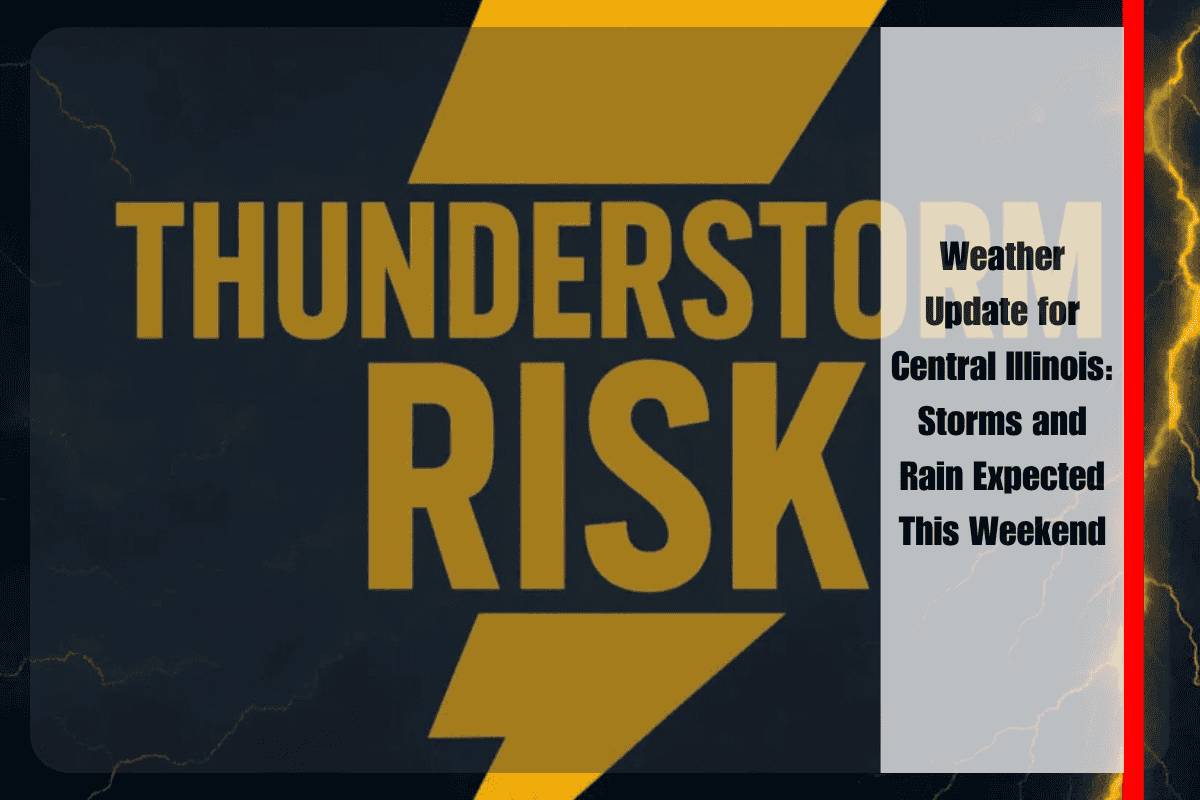
Central Illinois is gearing up for a period of unsettled weather, with thunderstorms and heavy rain moving into the region starting Saturday afternoon. The storms could bring severe weather, including damaging winds and heavy rainfall, especially near the Illinois River. This weather pattern will continue into the early part of next week, with scattered showers and storms expected through Wednesday.
Weather Forecast for Central Illinois
According to the National Weather Service in Lincoln, a cold front will move through the region, triggering widespread thunderstorms and showers, particularly on Sunday and Monday. While the storms will vary in intensity, a few may become severe, especially to the northwest of the Illinois River Valley. Damaging wind gusts and torrential rain are expected with these storms.
Heavy Rain and Flooding Risk
On Monday, areas south of Interstate 70 will face the highest rain chances, with localized flooding possible, especially in low-lying areas. If you’re in cities like Peoria, Springfield, Decatur, or Champaign, be prepared for potential travel disruptions, especially during the Monday morning commute. Flooded roads could make travel difficult, so it’s important to avoid them if possible.
Warm, Humid Days Ahead
Even though the storms will bring some relief from the heat, temperatures will remain warm throughout the weekend and into early next week. Highs will range from the upper 80s to low 90s, which is typical for this time of year. Temperatures will gradually cool down by Tuesday, but rain chances will still remain in the forecast, especially for the first half of the week.
Storms to Continue Into Midweek
While rain chances will decrease slightly on Tuesday, showers and storms will remain a possibility into Wednesday. As always, it’s important to stay alert to changing weather conditions, as additional advisories may be issued depending on how the storms develop.
5-Day Weather Forecast for Central Illinois
Saturday Night: Scattered storms (30–60%). Lows 71–73°F
Sunday: Storms likely, hot and humid. Highs 85–93°F
Monday: Heavy rain & storms, especially south of I-70 (60–70%). Highs 85–89°F
Tuesday: Isolated showers (20%). Highs 87–90°F
Wednesday: Scattered rain possible (40–50%). Highs 85–89°F
Central Illinois residents should be prepared for a week of thunderstorms and rain, with the highest chances of severe weather and heavy rain on Sunday and Monday. While temperatures will stay warm, localized flooding and travel disruptions are possible. Be sure to monitor local weather alerts and stay safe during the storms.


