Drivers and commuters in the Washington D.C. metro area should prepare for changing skies and potential showers starting Thursday afternoon. As warm and humid conditions return, temperatures will climb to 86°F by midday, with the National Weather Service forecasting a 30% chance of rain after 2 p.m. The rain could impact busy routes like I-495 and U.S. Route 50 during the evening rush hour.
Thursday’s Weather Outlook
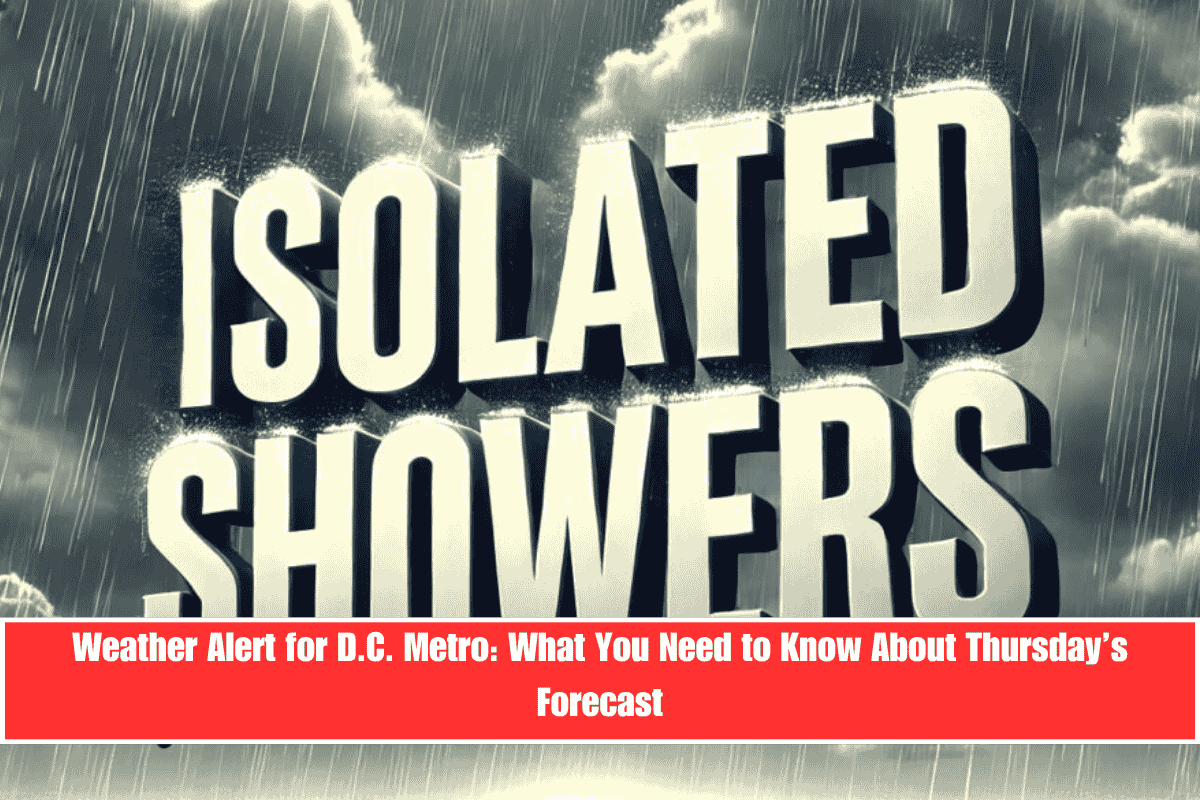
Thursday will start with mostly cloudy skies, with light southerly winds at 3 to 7 mph. Isolated showers are expected to develop after lunchtime, particularly in suburban Maryland and northern Virginia. While the rain is expected to be light, wet roads could cause delays as commuters head home in the evening.
What to Expect on Friday and Beyond
- Friday will bring continued humid conditions with a slightly higher rain chance of 40%. Expect mostly cloudy skies and a high near 84°F.
- Saturday sees a significant increase in rainfall, with heavy showers and possible thunderstorms expected to move in by the afternoon. The rain chance will rise to 70%, with localized downpours and lightning likely between 2 p.m. and 8 p.m.
- Sunday will bring a break from the storms, with mostly sunny skies and highs near 84°F.
Travel Considerations
As showers develop on Thursday, commuters should be prepared for possible wet roads and delays, especially during the evening drive. For Friday and Saturday, keep an eye on the forecast as rain chances increase, which may lead to travel disruptions, particularly in areas with localized downpours and thunderstorms.


