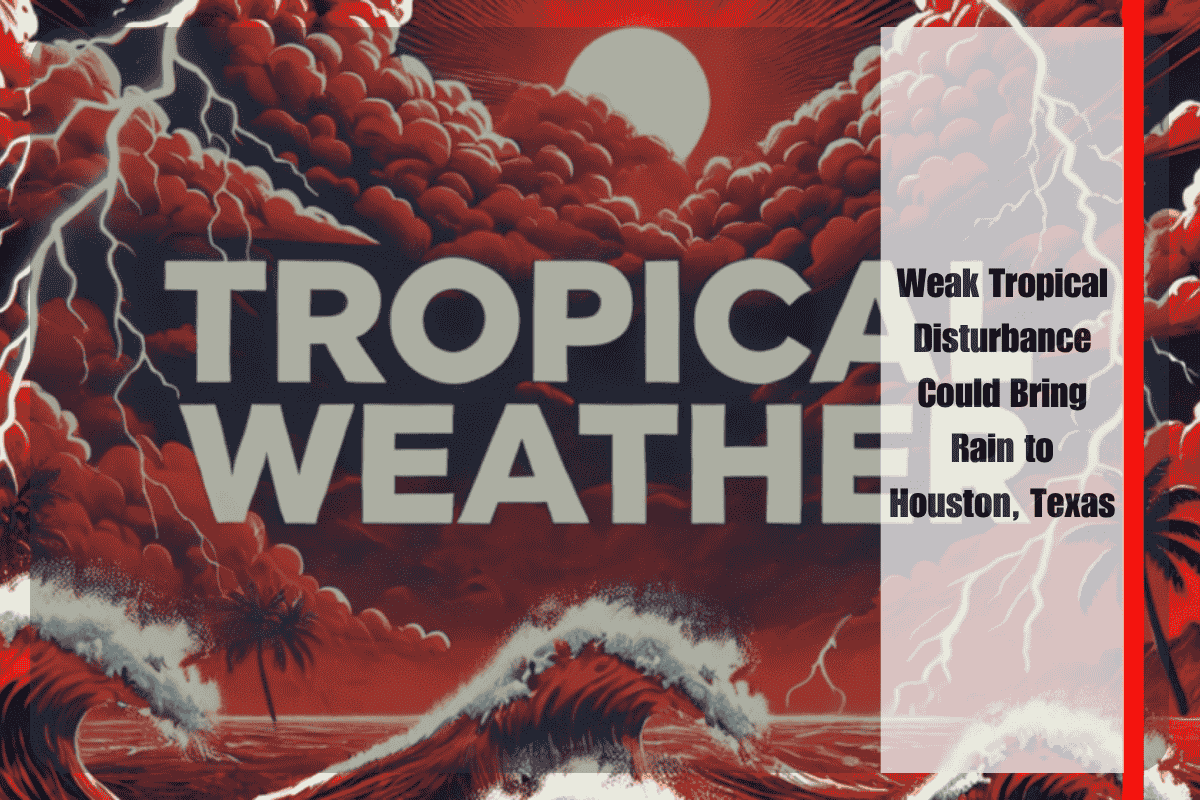
Houston, Texas – A weak tropical disturbance in the northern Gulf of Mexico is raising concerns for potential late-week rain across southeast Texas, including Houston, with storm chances increasing by Friday evening.
According to the National Weather Service in Houston, the system has only a 10% chance of tropical development over the next 7 days, but it could still enhance rainfall across coastal and inland counties as it drifts westward. While it’s too early to determine its exact intensity or impacts, similarities to last week’s Gulf disturbance have led to heightened attention.
Cities including Galveston, Beaumont, and Lake Jackson could experience scattered showers and isolated thunderstorms starting late Thursday, with heavier rain possible through the weekend. Inland areas such as Conroe and College Station may also see rain if the system maintains moisture inland.
Drivers should be prepared for slippery roads and reduced visibility, particularly during peak evening hours on Friday and Saturday. Residents are encouraged to monitor updates from NWS Houston and the National Hurricane Center, as any increase in tropical development could lead to stronger impacts along the Texas coast.


