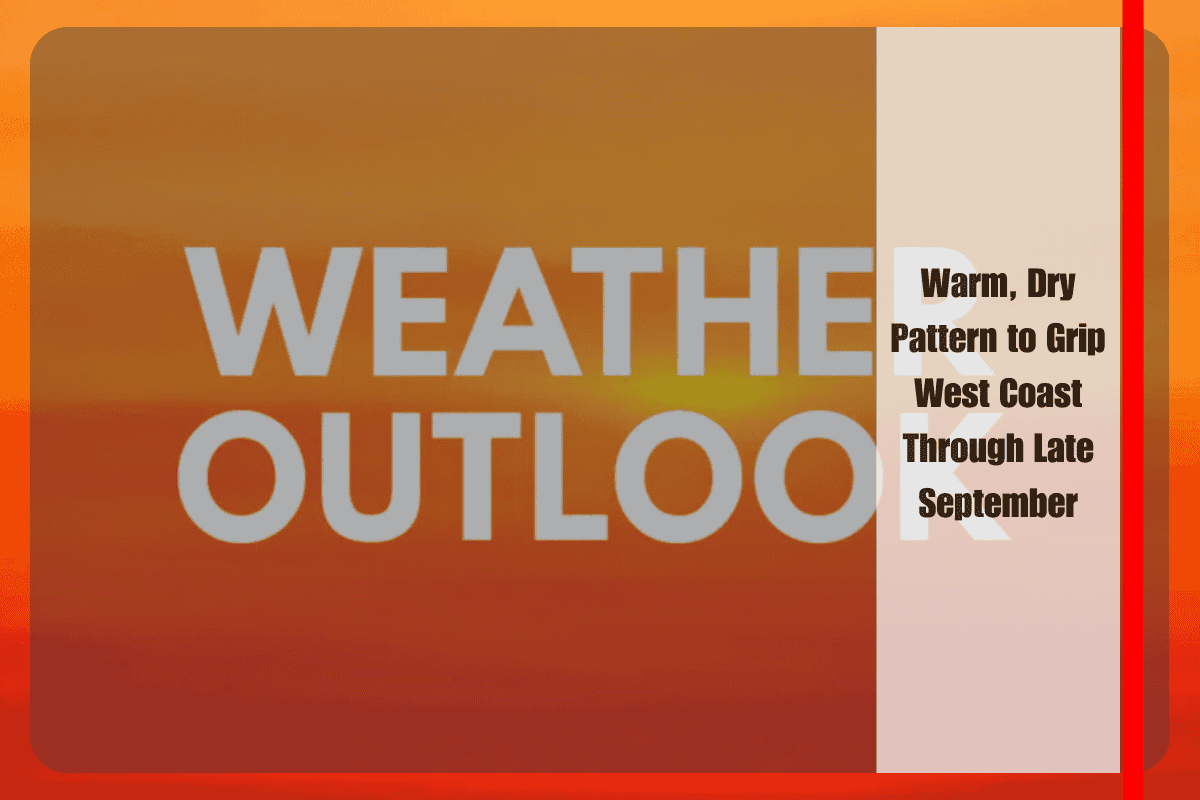
San Francisco, Calif. – The West Coast is heading into an unusually warm and dry stretch as September winds down, with temperatures expected to run above seasonal averages from California to Washington. Forecasters warn that the shift could increase fire danger and strain already tight water supplies across the region.
According to the National Weather Service’s Climate Prediction Center, much of the western United States will trend hotter than normal from September 20 through September 26. Rainfall is forecast to stay limited during this same period, with California and the Pacific Northwest leaning drier than average. Only parts of the northern Rockies show increased chances for precipitation.
Southern California and interior valleys face the greatest heat risk, with highs expected to push well above normal. In Northern California, Sacramento could see temperatures climbing into the 90s, while the Bay Area remains warm and dry with limited marine influence. Farther north, Oregon’s Willamette Valley and western Washington, including Seattle, are also expected to run warmer than average, extending the region’s late-summer dryness.
Officials urge residents to avoid outdoor burning, follow local fire restrictions, and conserve water where possible. Cooling centers may open in some urban areas if prolonged heat develops.
The warm, dry pattern is expected to dominate the West Coast through late September, with only minor shifts possible as the calendar turns to October.


