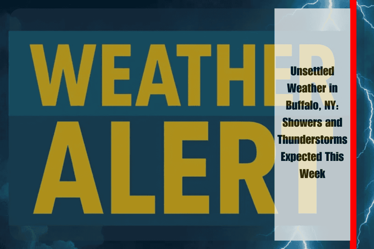
An unsettled weather pattern is set to move into Western New York, bringing showers and thunderstorms that could complicate travel and outdoor plans, starting Wednesday. After a calm Tuesday, the risk of storms will return, potentially affecting commuters and those with outdoor activities planned. Major roadways like the New York State Thruway (I-90) and the Kensington Expressway may experience disruptions due to rain and poor visibility.
According to the National Weather Service, Wednesday will see a 40 percent chance of showers and thunderstorms, primarily developing after 2 p.m. The chances of precipitation will increase to 60 percent as the evening progresses, with more widespread rain and thunderstorms expected. Drivers should prepare for slick roads and reduced visibility, particularly during the evening commute and into the night.
The possibility of wet weather continues into the Juneteenth holiday on Thursday. While the day will be partly sunny, there will still be a chance of showers and thunderstorms. The high temperature will be around 74°F, so those with outdoor celebrations planned should have a backup indoor location ready. It is important to stay aware of the changing conditions and keep an eye on weather alerts for updates.
Friday will offer a brief break from the rain, with mostly sunny skies and a high temperature of 74°F, providing a window of clearer weather. However, showers are expected to return Saturday afternoon and continue into the weekend. Saturday will be partly sunny with a high near 80°F, and there will be a chance of showers after 2 p.m. Sunday will bring warmer conditions with a high of 81°F, though the weather will remain partly sunny. Monday is expected to be sunny and warm, with temperatures climbing to around 85°F.
While the weather will be unsettled through mid-week, Friday will offer some respite before more showers return over the weekend. As storms move in, it’s important to stay informed about potential weather alerts and adjust plans accordingly.


