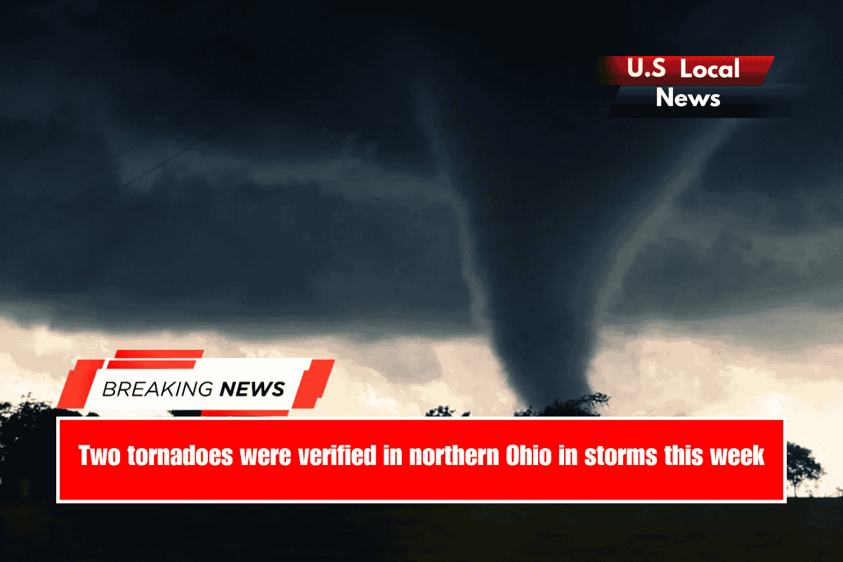
Columbus, Ohio – Two short-lived tornadoes touched down in northern Ohio late Tuesday and early Wednesday, surrounded by strong thunderstorms.
At 8:45 p.m., the National Weather Service in Cleveland confirmed that a tornado briefly touched down northeast of Middlefield in northeastern Ohio. Tuesday evening, with maximum winds of 85 mph (EF0), traveling a quarter-mile.
According to the Weather Service, the storm caused damage to three buildings and two outbuildings, as well as injuries to three horses. Roofing material was blown hundreds of yards across a road. There were no injuries reported in the Geauga County storm, which occurred 60 miles southeast of Cleveland.
A second tornado touched down at 2:05 a.m. Wednesday in New London, Huron County, north of U.S. 224. The storm was slightly stronger, reaching EF1 intensity (85 mph) while on the ground for a third of a mile.
The storm caused damage at the New London Recreation Area, knocking down fencing and snapping a large tree. According to the NWS storm survey, uprooted trees caused roof damage to three homes in New London’s residential areas, as well as “snapping three utility poles” and damaging fence panels. There were no injuries reported.
Stormy night
Thunderstorms lit up the Columbus area and toppled trees in Delaware shortly after midnight, with rainfall totals reaching 2 inches in less than an hour, bringing an end to a dry spell.
The two tornadoes in August brought Ohio’s preliminary storm total to 28 for 2025. The average for the entire year is 22. Tornado season typically peaks in the spring and early summer, with only sporadic severe storms occurring in late summer and autumn, which are generally weaker.
This year, 20 of the 28 confirmed tornadoes were rated EF0 (65-85 mph), with seven reaching EF1 intensity (86-100 mph). The strongest tornado was an EF2 storm in Paulding County on April 2 that traveled 4.5 miles and had winds of 120 mph. In 2024, Ohio recorded a record 74 tornadoes, including a late storm on December 29.
Cold air funnel in Richland County
A “cold air” funnel cloud was seen Wednesday afternoon with a rain shower near Crestview High School in Richland County, north of Mansfield.
This summer’s very moist lower atmosphere has resulted in numerous funnel sightings. Low-level winds converging in a narrow zone acquire spin beneath a rain shower or storm, but the parent cloud does not rotate, so these funnel clouds rarely touch down and become tornadoes.


