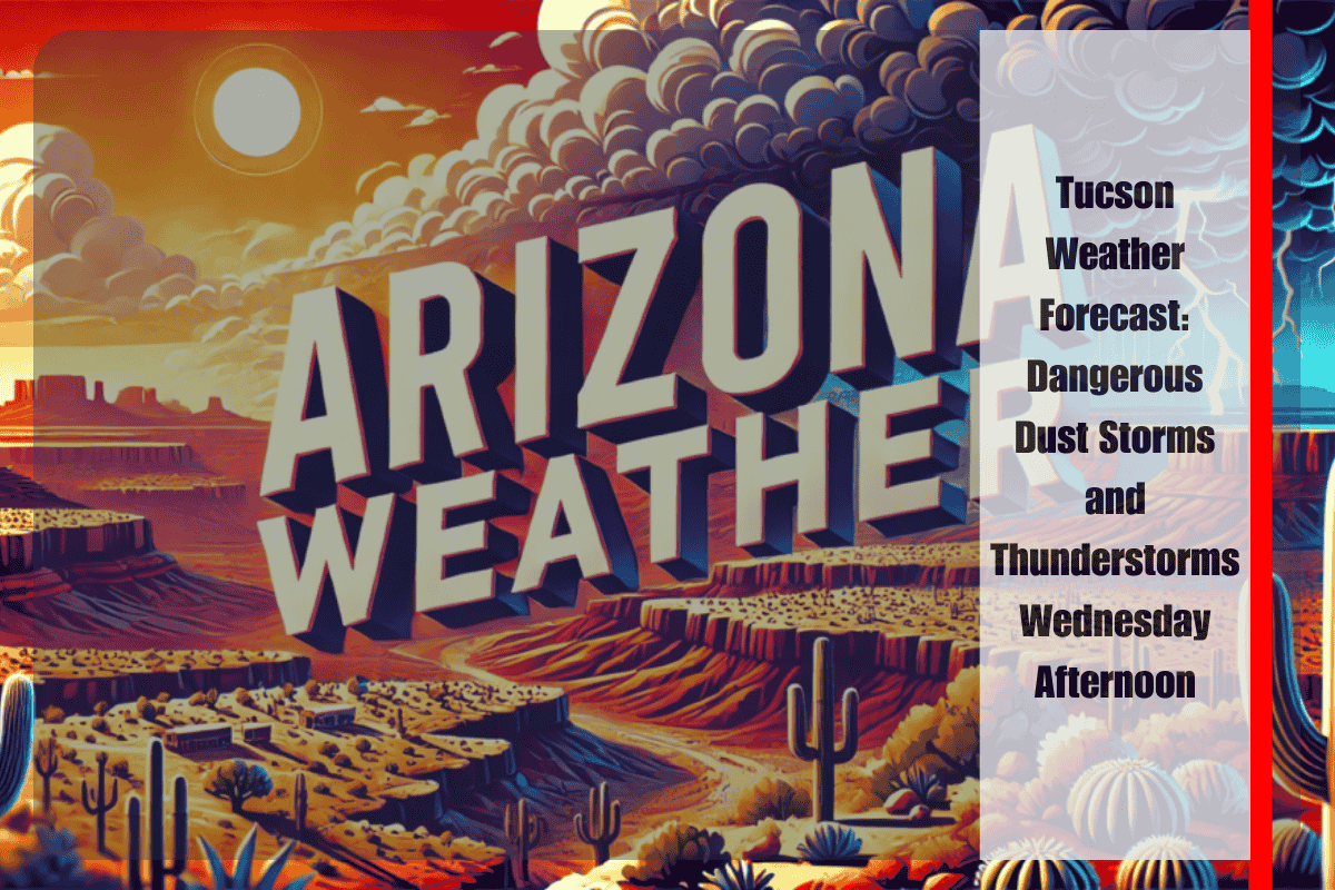
Southern Arizona, including Tucson, is set to experience strong thunderstorm outflows Wednesday afternoon, bringing hazardous blowing dust and creating dangerous driving conditions. Winds up to 45 mph could stir up a haboob between 2 p.m. and 11 p.m., potentially reducing visibility to near zero on major roadways. This could significantly impact travel and air quality across the region.
According to the National Weather Service in Tucson, the dust threat will be most severe in Pima and Southeast Pinal counties this afternoon, before spreading east toward Cochise County by evening. Areas at highest risk for sudden visibility drops include the Tucson metro area, Interstate 10 from the San Simon Valley to the New Mexico border, and the corridor between Tucson and Phoenix.
Motorists are urged to pull over and stop with lights off if they encounter dust on the roadway, as driving under these conditions can be extremely dangerous. Additionally, people with heart or lung conditions should remain indoors to avoid inhaling airborne particles. Given the severity of the storm, outdoor activities should be postponed until after the dust storm passes.
Blowing dust may recur with additional storms later this week, but today’s setup presents the most widespread travel disruption.
Here’s the detailed five-day forecast for Tucson:
Wednesday: Blowing dust and thunderstorms after 2 p.m., high 105°F, low 79°F.
Thursday: 50% chance of showers and thunderstorms, high 103°F, low 79°F.
Friday: Likely showers and thunderstorms, high 99°F, low 76°F.
Saturday: 30% chance of storms, high 98°F, low 75°F.
Sunday: 20% chance of storms, high 101°F, low 78°F.


