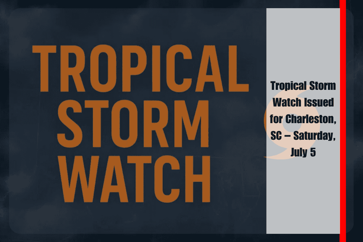
Charleston, South Carolina, is facing potential tropical storm conditions this weekend as a developing system approaches the region. Tropical storm conditions could begin affecting Charleston Harbor and the coastal waters from Edisto Beach to the South Santee River by Saturday night, prompting an urgent Tropical Storm Watch for these areas.
Tropical Storm Watch and Marine Hazards
According to the National Weather Service in Charleston, winds could reach 40 mph with gusts, and seas are expected to build to 7 feet offshore by Saturday night. Localized impacts are possible in the Charleston Harbor area, with seas reaching 1 to 2 feet and strong currents affecting coastal waters.
Areas under the watch include Charleston, McClellanville, and Edisto Island, where residents are urged to secure their property and avoid unnecessary travel near the water. The storm may cause limited storm surge flooding, with levels reaching up to 2 feet in surge-prone locations, especially during the afternoon and evening high tides on Saturday.
Weather Conditions and Flooding Risks
Rainfall could total around 1 inch, and isolated areas might experience localized street flooding or drainage issues. While the tornado potential remains low, brief gusty squalls may still occur, making outdoor conditions hazardous. It’s important to stay alert and monitor weather updates throughout the weekend.
Marine Advisory for Boaters
Boaters are strongly advised to stay in port and secure vessels as tropical-storm-force winds are expected. Small vessels and unsecured docks are particularly at risk, so preparations should be made immediately to avoid damage. Mariners should monitor updates from the National Hurricane Center for the latest advisories.
Outlook for Sunday and Beyond
The storm’s impacts could persist into Sunday, with conditions gradually improving early next week. The risk of hazardous marine conditions should decrease by Monday, though strong winds and elevated seas are expected through Sunday.
FIVE-DAY MARINE FORECAST (Charleston Area Waters)
Saturday: South winds at 25–35 knots, gusts up to 40 knots, seas of 4–7 feet offshore
Sunday: Southwest winds at 20–30 knots, seas of 4–6 feet, scattered showers
Monday: Southwest winds at 10–20 knots, seas of 3–5 feet, improving conditions
Tuesday: Southwest winds at 10–15 knots, seas of 3–4 feet, mostly clear
Wednesday: Southwest winds at 10–20 knots, seas of 3–5 feet, stable marine weather
Charleston is preparing for tropical storm conditions, with strong winds, rising seas, and the potential for flooding in coastal areas. Residents in affected regions should secure their property, avoid travel near the water, and stay informed of the storm’s developments. Boaters are advised to remain in port and take precautions. Conditions are expected to improve by early next week, but it’s important to monitor weather updates through the weekend.


