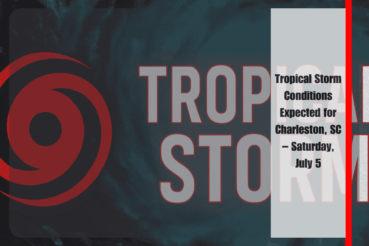
Charleston, SC, and surrounding areas are bracing for tropical storm-force winds and dangerous marine conditions as Tropical Depression Three pushes northward toward the Southeast Atlantic Coast. The storm is expected to affect coastal areas through Sunday, bringing significant risks to both land and sea.
Tropical Storm Warning and Marine Hazards
The National Weather Service has issued a Tropical Storm Warning for offshore waters south of Cape Fear, North Carolina, where winds could reach up to 35 knots, and seas may build to 11 feet by Saturday night. A Tropical Storm Watch has also been issued from Edisto Beach to Charleston Harbor, where gusts of up to 40 mph and seas rising to 7 feet are expected by late Saturday. The combination of these conditions will create hazardous marine environments.
Coastal and Inland Impacts
Inland wind impacts may be minimal, but coastal areas like Charleston, Edisto Island, and McClellanville are at risk for storm surge flooding, potentially rising up to 2 feet above ground, especially during high tide Saturday evening. While the wind will affect coastal areas, loose objects and tree limbs could become hazards, posing risks to both people and property.
Marine Conditions and Storm Activity
Marine conditions are expected to be most hazardous from Saturday through early Sunday, with widespread thunderstorms, squalls, and rapidly changing sea states. Mariners are strongly advised to remain in port, secure vessels, and stay updated with the latest information from the National Hurricane Center.
What’s Next for Charleston
Conditions should gradually improve starting Monday, but strong surf and swells could linger along the coast into midweek. It’s crucial for residents and visitors to stay informed and prepare for the ongoing storm impacts over the weekend.
Charleston is facing significant tropical storm conditions this weekend as Tropical Depression Three makes its way north along the Southeast Atlantic Coast. With high winds, dangerous seas, and the potential for storm surge flooding, residents and visitors should stay cautious, especially along coastal areas. Marine conditions will be hazardous, so it’s essential to monitor weather updates and avoid unnecessary travel.


