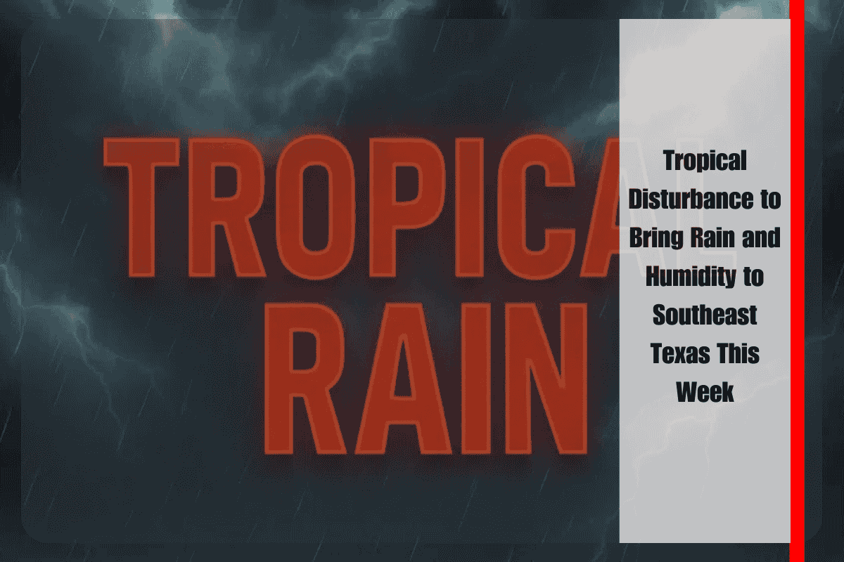
Residents across Southeast Texas, including Houston and Galveston, should prepare for increased rain and humidity late this week as a tropical disturbance moves from Florida into the Gulf of Mexico. While the National Hurricane Center gives this system a 30% chance of developing into a tropical cyclone, the potential for local impacts by Friday remains high.
What to Expect from the Tropical Disturbance
The low-pressure system is expected to move westward across Florida before entering the Gulf of Mexico by late Tuesday. Although it’s uncertain whether this system will develop into a tropical cyclone, the National Weather Service Houston-Galveston warns that Southeast Texas could experience heavier rain and higher humidity from Friday into the weekend.
Increased Rain and Flooding Risk
As rain bands move into the region, major roadways such as I-45 and I-10 could experience localized flooding, especially in flood-prone areas. Emergency officials advise residents to monitor updates closely and be prepared for changing weather conditions. If you live in an area that typically floods, it’s essential to stay alert and plan ahead for the possibility of significant rainfall.
Preparing for Potential Power Outages
With the expected downpours, power outages could also occur. Emergency management officials recommend staying off the roads during heavy rain to avoid accidents or becoming stranded. It’s a good idea to have a plan in place in case power goes out, such as keeping backup batteries or flashlights ready and making sure your phone is charged.
What’s Ahead for the Week
This tropical disturbance marks the first notable tropical activity near Texas this July. While the 2025 hurricane season has so far been focused on areas east of Texas, forecasters are closely monitoring this developing system. If the system strengthens or changes course, further warnings or watches may be issued later this week.


