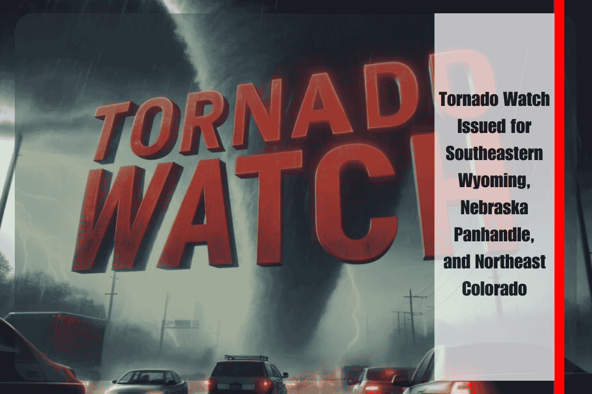
A heightened risk of tornadoes, large hail, and severe thunderstorms is expected across southeastern Wyoming, the Nebraska Panhandle, and northeast Colorado until 10 p.m. MDT Friday, August 1. The National Weather Service has issued a Tornado Watch for the region, warning of gusty winds and heavy rainfall that could disrupt travel and damage infrastructure.
Areas Under Tornado Watch
The Tornado Watch covers counties in Wyoming, Nebraska, and Colorado, including:
- Wyoming: Goshen, Laramie, and Platte
- Nebraska: Scotts Bluff, Cheyenne, Banner, Morrill, and Kimball
- Colorado: Weld, Logan, Morgan, Phillips, Sedgwick, and Washington
These areas face the potential for isolated tornadoes, hail up to the size of apples, and wind gusts reaching 70 mph. Localized flash flooding is also a concern as storms intensify through the evening.
Safety Precautions and Travel Warnings
In Cheyenne and Wheatland, residents are urged to secure loose outdoor items and charge their electronic devices ahead of the storms. Drivers in Torrington and Scottsbluff should avoid non-essential travel after sunset due to the risk of flooding on low-lying roads. Fort Morgan and Sterling, Colorado, could experience power outages and downed branches as the storms sweep through the area.
Emergency Alerts and Sheltering
Emergency management officials advise staying updated through NOAA Weather Radio and local alerts. Residents should seek safe shelter at the first sign of severe weather warnings. Be prepared for possible overnight impacts, as storm threats will continue through 10 p.m., with additional watches possible if conditions persist.
With a Tornado Watch in effect, residents across southeastern Wyoming, the Nebraska Panhandle, and northeast Colorado need to remain alert to rapidly changing weather conditions. Make necessary preparations and stay informed as this severe weather event unfolds.


