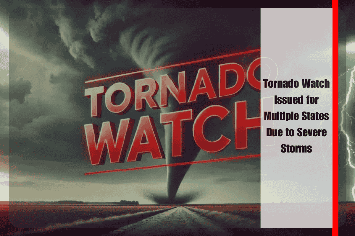
A Tornado Watch remains in effect until 8 p.m. CDT Wednesday for parts of southern Illinois, southern Indiana, western Kentucky, and southeast Missouri as storms rapidly develop, bringing the risk of damaging winds, large hail, and possible tornadoes.
Threats of High Winds and Large Hail
The National Weather Service Storm Prediction Center warns that storms will intensify along a boundary stretching from near Fort Campbell, Kentucky, to northeast of Evansville, Indiana. These storms could bring wind gusts up to 75 mph and hail up to 2 inches in diameter, especially between the late afternoon and early evening hours.
Areas at Risk and Key Safety Tips
In Indiana, residents from Evansville to Jasper should remain alert as the storm line moves eastward. Western Kentucky cities like Paducah and Hopkinsville are also at risk for severe wind damage and downed power lines. Southern Illinois, including cities like Marion and Carbondale, faces the danger of high winds that could disrupt travel on major highways like I-57 and I-24. Additionally, southeast Missouri towns such as Poplar Bluff and Sikeston should prepare for rapidly developing storms.
Prepare and Stay Safe
Residents in the affected regions are advised to take immediate safety precautions. Charge your phones, secure any outdoor objects that could be blown away by high winds, and avoid traveling during severe storm warnings. Tornadoes can form quickly under these conditions, so it’s important to stay informed and keep updated through local alerts and weather radios.
Additional Warnings Possible
As the storms evolve throughout the evening, additional warnings may be issued. It’s critical to stay tuned to local emergency agencies for the latest updates and continue monitoring the situation.


