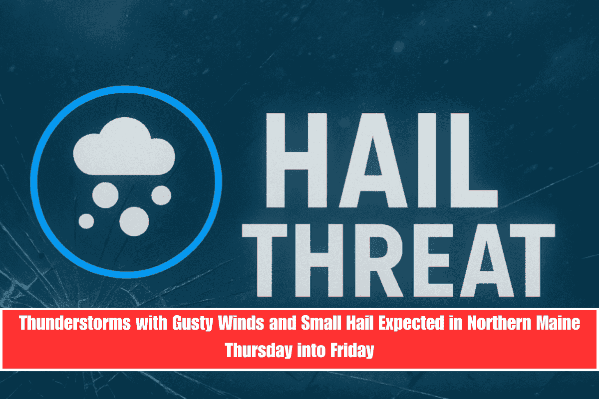
Northern Maine, including areas around Caribou, will face thunderstorms late Thursday into Friday. These storms could bring gusty winds, small hail, and heavy rain, causing localized flooding and travel delays, especially along U.S. Route 1 and nearby roads.
Storms Arrive Thursday Afternoon with Strong Winds and Heavy Rain
The National Weather Service in Caribou warns that a cold front will move through the region Thursday afternoon, bringing showers and thunderstorms starting around 2 p.m. Storms may quickly become stronger, particularly in Aroostook, Penobscot, and Washington Counties. Wind gusts could reach up to 30 mph, and some storms might produce small hail. These conditions will make driving and outdoor work hazardous Thursday evening.
Drier Weather Expected Friday, but Showers Continue Over the Weekend
By early Friday, skies should clear up a bit, though scattered showers remain possible through the weekend. Saturday and Sunday both have about a 50 percent chance of rain, with temperatures cooling to the upper 60s. Residents are advised to avoid flooded roads and be careful in low-visibility areas during heavy rain.
Stay Prepared for Possible Power Outages
While power outages are not expected, it’s wise to charge phones and prepare flashlights before the storms arrive late Thursday.
Five-Day Weather Forecast for Caribou, Maine
Wednesday, June 4: High of 85°F, hazy with gusts up to 25 mph
Thursday, June 5: High of 86°F, showers and thunderstorms after 2 p.m., some severe possible
Friday, June 6: High of 79°F, scattered showers early, breezy
Saturday, June 7: High of 69°F, 50% chance of showers
Sunday, June 8: High of 72°F, partly sunny with a 30% chance of showers
Thunderstorms with gusty winds and small hail will affect northern Maine late Thursday into Friday, bringing heavy rain and localized flooding risks. Residents should stay alert and cautious, especially along U.S. Route 1.


