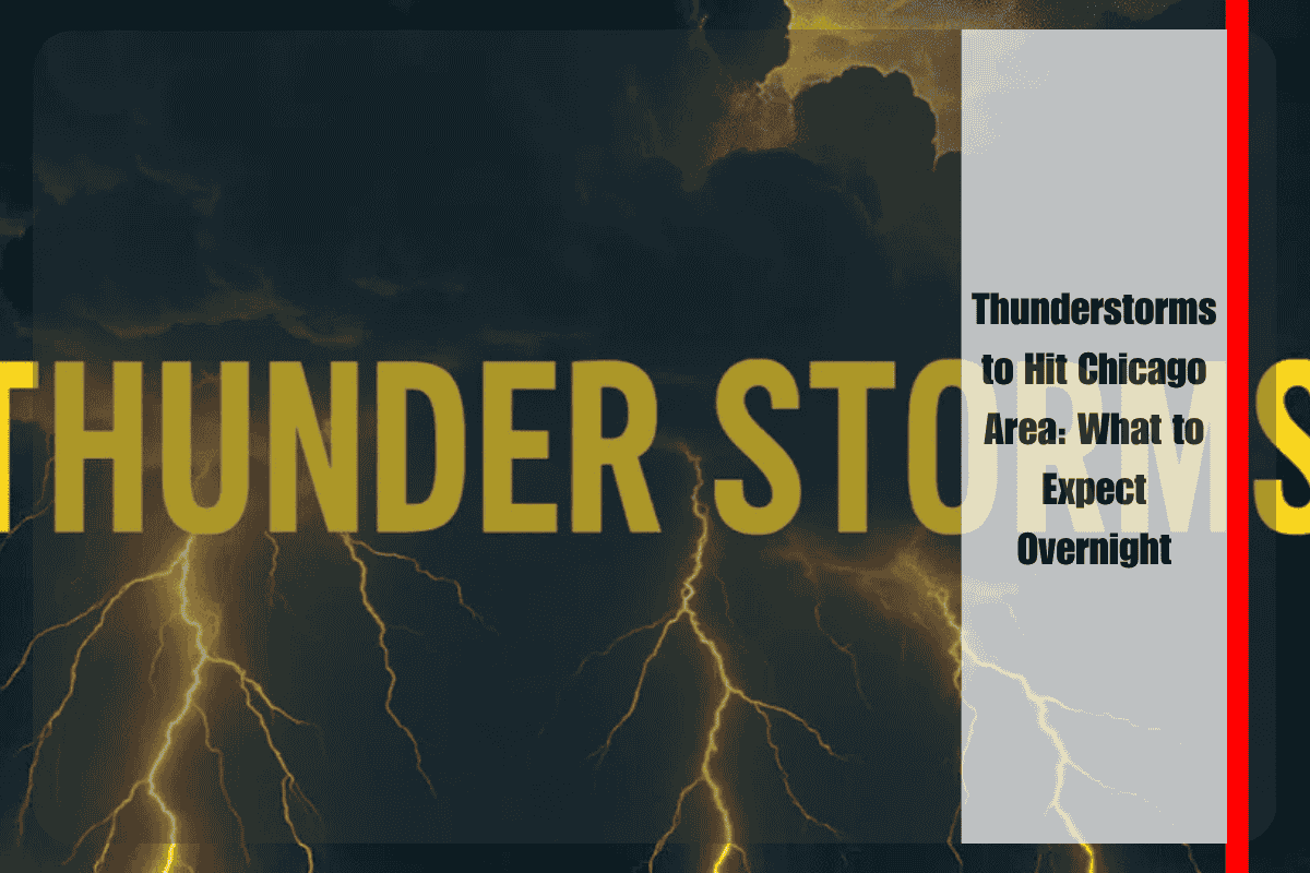
Severe thunderstorms, accompanied by torrential rain, are set to impact Chicago and surrounding areas overnight, with the heaviest conditions expected south of I-80 after 2 a.m. on Friday. Motorists in areas like Joliet, Kankakee, and nearby communities could face flooded roads and dangerous driving conditions early in the morning.
Heavy Rain and Flash Flooding Risks
The National Weather Service in Chicago has issued warnings for these storms, which are expected to bring widespread rainfall, particularly south of I-80. Locally heavy rain is likely, increasing the risk of flash flooding in low-lying areas, underpasses, and near streams or creeks. The storms will also be accompanied by lightning and gusty winds, making overnight travel particularly hazardous.
Residents in Will, Grundy, and Kankakee counties are urged to avoid non-essential travel through the night, especially if roads are flooded. The National Weather Service advises drivers to “turn around, don’t drown” if they encounter water-covered roads, as the risk of accidents increases with rapidly rising water.
Prepare for Power Outages and Road Closures
With the storms expected to bring gusty winds and heavy rain, power outages and road closures are possible. Residents should ensure their devices are charged and stay updated with local alerts to monitor the weather situation. It’s also recommended to have alternate routes ready, as some areas could experience sudden flooding, making main roads impassable.
This storm comes after a particularly wet July for Illinois, with tonight’s weather system potentially delivering some of the heaviest rainfall so far this summer. The warnings remain in effect through Friday morning, and more updates may be issued if rainfall intensifies or conditions worsen.


