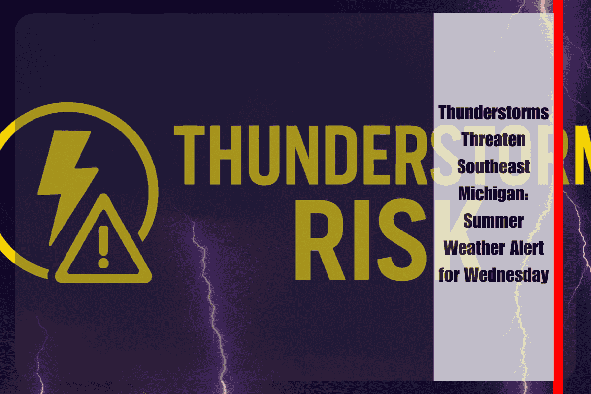
Detroit, MI – A summer weather alert is in effect for southeast Michigan as thunderstorms are expected to disrupt afternoon and evening plans on Wednesday, July 30th. Residents and commuters along I-75 and I-94 through Detroit, Hamtramck, and surrounding Wayne County should prepare for potential delays and changing road conditions, as wind gusts and torrential rain could make travel hazardous.
Thunderstorms and Potential Hazards
According to the National Weather Service Detroit/Pontiac, there is a 30% chance of showers and thunderstorms developing after 2 p.m. Wednesday, with the storms most likely occurring between 2 p.m. and 5 p.m. The strongest storms could bring gusty winds up to 40 mph, especially near highways and open areas. While widespread severe weather is not expected, any storm could lead to locally heavy rain, reduced visibility, and brief power outages. Motorists are urged to slow down, use headlights, and avoid flooded underpasses during heavy downpours.
Weather Outlook and Preparedness Tips
Cloud cover will give way to a few breaks of sunshine later in the day, but another round of showers is possible after sunset on Wednesday. Thursday will bring a lower chance of rain, with a 40% chance of spotty showers, mainly south of the I-69 corridor, and a cooler high of around 76°F. By Friday, sunshine will return, setting the stage for a beautiful summer weekend with clear skies and temperatures near 78°F. Saturday will also be sunny, perfect for outdoor plans, with a high near 79°F, and Sunday will remain sunny and warmer with temperatures reaching 82°F.
Five-Day Forecast for Detroit/Hamtramck: July 30 – August 4
Wednesday: Thunderstorms possible after 2 p.m., high near 86°F, breezy at times.
Thursday: Mostly cloudy with a 40% chance of scattered showers, high near 76°F, windy.
Friday: Sunny with a high near 78°F, clear and comfortable at night.
Saturday: Sunny, high near 79°F, perfect for outdoor plans.
Sunday: Sunny and warmer, high near 82°F.
Monday: Mostly sunny and hot, high around 84°F.
Storm chances will fade after Thursday, with a stretch of summer sun and warm temperatures expected into next week. Stay tuned for updates, as weather alerts remain possible, especially along major roadways.
Preparedness Tip
It’s important to have a way to receive weather alerts and monitor local radar, especially if you’re planning to travel on Wednesday afternoon. Keep devices charged and avoid unnecessary travel during active storms.


