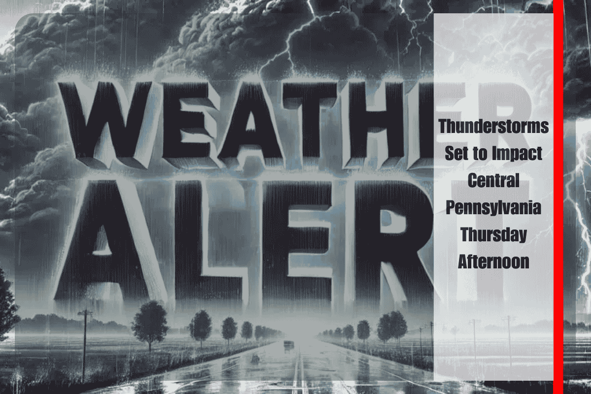
Harrisburg, Pennsylvania – Storms are set to return to central Pennsylvania on Thursday afternoon, with heavy downpours, lightning, and the potential for localized flooding, especially during peak commute hours. According to the National Weather Service (NWS) in State College, showers and thunderstorms will begin developing after 3 p.m. Thursday, primarily affecting areas along and east of U.S. Route 11, including Cumberland, Perry, and Dauphin counties.
Rainfall could exceed half an inch in some spots, and isolated thunderstorms may produce strong gusts and poor drainage flooding, particularly in urban areas. Drivers are advised to allow extra time during the evening rush and avoid flooded roadways. These storms could lead to hazardous travel conditions, so caution is urged for those heading home from work.
Thursday’s high will reach 85°F with humid conditions, followed by storms in the afternoon. However, conditions will clear rapidly overnight, setting up a pleasant and dry stretch of weather through the weekend. Sunshine returns on Friday with highs near 86°F and calmer winds, making it an ideal setup for outdoor plans.
From Friday through Sunday, Mount Holly Springs, York, and Harrisburg will enjoy dry skies, with temperatures hovering in the mid-to-upper 80s and cooler nights in the upper 60s. A slight chance of storms returns on Tuesday, but the overall forecast favors dry, calm weather in the coming days.
Although more showers are possible next Tuesday, the likelihood of hazardous weather remains low after Thursday. Residents are encouraged to stay informed and monitor updates through weather apps or NOAA radios to stay alert.
Five-Day Forecast for Mount Holly Springs, PA (Aug 13–17):
- Wednesday, August 13: Scattered thunderstorms (80%), high 87°F
- Thursday, August 14: Storms likely after 3 p.m. (30%), high 85°F
- Friday, August 15: Sunny, high 86°F, low 68°F
- Saturday, August 16: Mostly sunny, high 86°F
- Sunday, August 17: Mostly sunny, high 89°F


