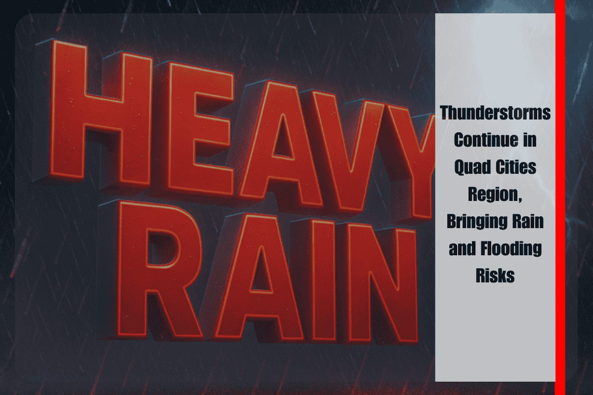
Quad Cities, Iowa/Illinois – Scattered thunderstorms will continue across eastern Iowa and northwest Illinois through Wednesday evening, bringing the chance for heavy rain, lightning, and minor flooding risks.
What to Expect
According to the National Weather Service in the Quad Cities, while the overall threat for widespread heavy rain has decreased, storms will likely continue until at least 10 p.m. tonight. The coverage of these storms is expected to range from 30% to 60%, with the highest concentration of storms in northwest Illinois, especially in cities like Freeport, Sterling, and the Quad Cities metro area.
Risk of Localized Flooding and Lightning
These storms are expected to be slow-moving, which can lead to localized downpours and brief flooding in low-lying areas, as well as on some roads. Lightning is also a concern, particularly during the evening commute. Residents are urged to avoid flooded roads and stay indoors when they hear thunder.
Areas to Watch
Burlington, Clinton, and Maquoketa are among the cities that could see additional pop-up storms during the early evening hours. While the overall flood threat remains low (Level 1 of 5), isolated flooding issues are still possible in some areas.
What’s Next?
Scattered showers may continue into the night, but coverage is expected to decrease. The National Weather Service will issue another round of updates early Thursday morning to keep residents informed.


