Drivers in Tampa Bay should prepare for another round of isolated thunderstorms on Sunday afternoon, with potential impacts along I-275 and I-4 during peak travel hours. Roadways may quickly become slick, and the National Weather Service urges drivers to slow down and allow extra travel time.
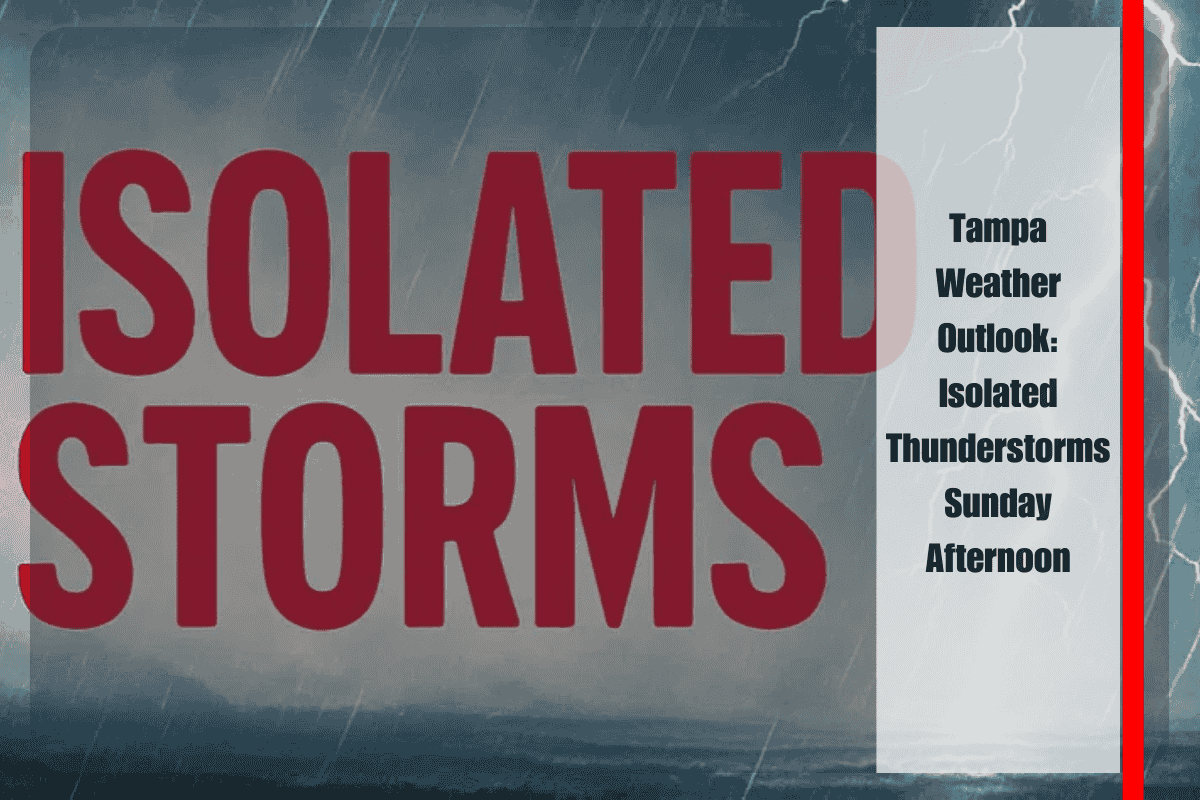
According to the National Weather Service in Tampa Bay, storms will begin to develop after 2 p.m. Sunday, with a high near 90°F. Although the chance of storms remains near 20%, any storm could bring brief downpours and gusty winds. Conditions will improve by Sunday night, with mostly clear skies and lows around 71°F.
By Monday, drier air will settle over the region, bringing abundant sunshine and highs near 91°F. However, the relief will be short-lived as storm activity returns Tuesday with highs in the low 90s, followed by a stronger wave of scattered storms midweek.
Commuters should stay alert to road conditions, particularly along major corridors like I-275 near downtown Tampa and the Howard Frankland Bridge, where heavy rain can reduce visibility and increase accident risk. Residents are advised to keep devices charged and prepare for brief power disruptions during stronger storms.
This developing fall weather pattern will continue into the workweek, with rain chances remaining in the forecast through Friday.
Five-Day Forecast for Tampa, Florida
Sunday: Sunny early, storms after 2 p.m., high near 90°F.
Monday: Mostly sunny, high 91°F.
Tuesday: Isolated storms after 2 p.m., high 92°F.
Wednesday: Scattered storms, high 91°F.
Thursday: Showers and thunderstorms, high 88°F.


