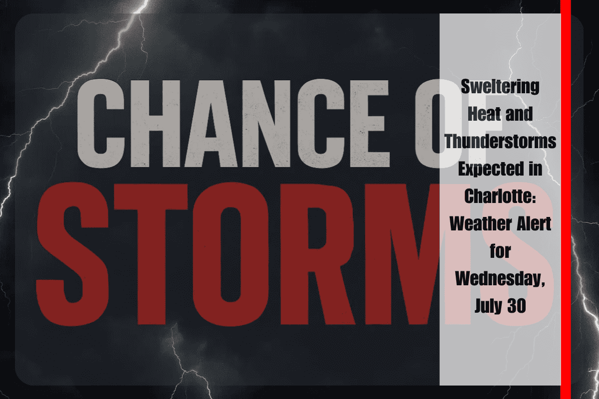
Charlotte, NC – Sweltering heat and the threat of afternoon thunderstorms are putting Charlotte on high alert as temperatures soar toward 94°F on Wednesday, July 30. Commuters traveling along I-77 or I-85 should be prepared for rapid weather changes and potential slowdowns by mid-afternoon.
Thunderstorms and Hazardous Conditions
According to the National Weather Service, scattered showers and thunderstorms are expected to develop after 2 p.m. on Wednesday, bringing heavy downpours, gusty winds, and a heat index that could reach 103°F. Local officials are urging residents to limit outdoor activities, stay hydrated, and never leave children or pets in parked vehicles. If you hear thunder, head indoors immediately. Lightning and brief torrential rain could create dangerous conditions on city streets and highways, particularly in Mecklenburg County and surrounding areas.
Evening Outlook and Thursday’s Forecast
Wednesday night will bring lingering storms before midnight, followed by patchy fog. Temperatures will drop only to 75°F. On Thursday, more storms could develop after 11 a.m., potentially impacting morning commutes across Mecklenburg County and nearby towns. The forecast calls for a high of 93°F, with a chance of rain continuing into the evening.
By Friday, mostly sunny skies are expected with a high near 91°F. However, more storms are likely Friday night into early Saturday, which could impact outdoor plans for the weekend, including Saturday evening and overnight.
Preparedness and Safety Tips
Utility crews and emergency management teams are on standby to monitor for downed trees, isolated outages, or flooding in low-lying areas. Residents are advised to stay updated on weather alerts, keep devices charged, and plan for alternate routes if storms intensify during peak travel times.
Five-Day Weather Outlook for Charlotte, NC
Wednesday, July 30: Scattered thunderstorms after 2 p.m., high near 94°F, heat index up to 103°F, evening patchy fog, low 75°F.
Thursday, July 31: Showers and storms likely after 11 a.m., partly sunny, high 93°F, chance of rain continues into the evening, low 75°F.
Friday, August 1: Mostly sunny, high near 91°F, storms developing Friday night, low 70°F.
Saturday, August 2: Morning clouds, chance of showers and thunderstorms after 2 p.m., high 79°F, evening storms likely, low 66°F.
Sunday, August 3: Mostly sunny, high 80°F, low 64°F, slight storm risk lingers into the evening.
Monday, August 4: Partly cloudy, high near 85°F, quieter weather to start the workweek.


