New York, NY – New Yorkers should prepare for a surge of summer heat as sunny skies and highs near 84°F arrive on Thursday, July 24th. The heat will be accompanied by rising humidity, setting the stage for potential thunderstorms as the weekend nears. Local officials are urging caution, particularly along busy corridors such as I-278, I-95, and I-495.
According to the National Weather Service, Thursday’s sunshine will dominate early in the day, but as south winds pick up, temperatures will climb into the mid-80s by the afternoon. Roads and sidewalks will heat quickly, making it important for residents to stay hydrated, avoid strenuous outdoor activities during peak afternoon sun, and check on vulnerable neighbors. City agencies are also warning drivers that the heat could cause pavement buckling, and there is a possibility of pop-up showers later in the day.
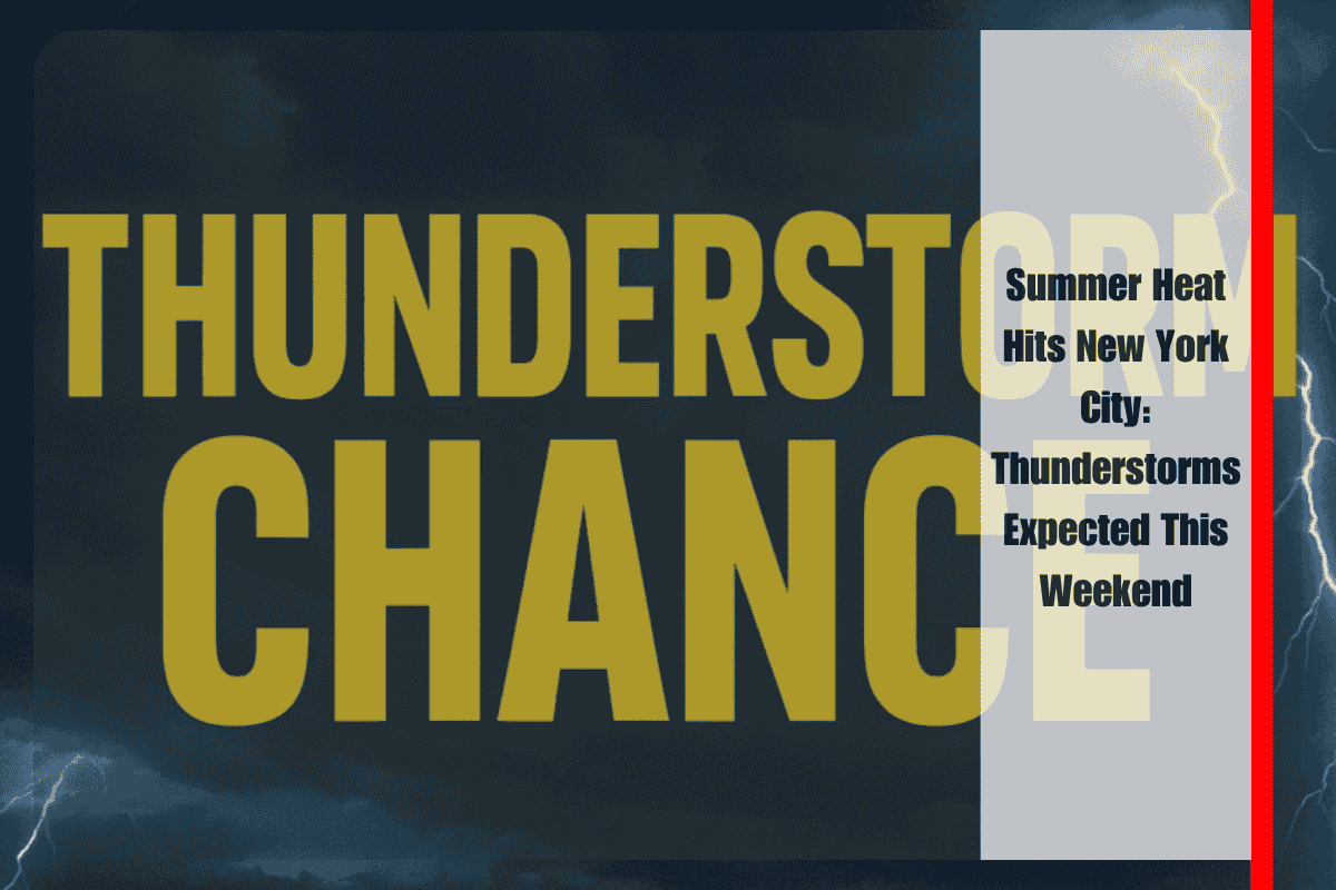
On Friday, the heat will intensify further, with temperatures soaring to 92°F, and humidity making it feel even warmer. Thunderstorm chances will increase by late Friday and continue into Saturday. These scattered storms could impact travel, particularly on I-278 and I-495, and may bring heavy rain, lightning, and brief delays, especially in the afternoon and evening hours.
Saturday will keep the city in a summer weather pattern, with highs around 84°F and a 30% chance of storms after 2 p.m. The weather will start to cool on Sunday and Monday, with partly cloudy skies and highs in the mid- to low-70s, providing some relief. Showers are possible again on Monday night as temperatures remain steady.
Preparedness Tips:
Drink plenty of water and wear light, loose clothing.
Avoid outdoor work during midday sun.
Check local alerts before driving, particularly on Friday and Saturday.
Secure outdoor items that could be blown away by storm winds.
Charge devices ahead of possible power outages during storms.
What’s Next:
Thunderstorm chances will return on Saturday night (40% risk), with showers lingering into early next week. Stay tuned for updates as the weather pattern shifts, and advisories may change.
Extended Five-Day Forecast for New York, NY:
Thursday, July 24th: Sunny, high near 84°F, south winds at 7–15 mph.
Thursday Night: Mostly clear, low of 76°F.
Friday, July 25th: Sunny, high near 92°F, 30% chance of thunderstorms after 5 p.m.
Friday Night: Mostly cloudy, low of 78°F, showers and thunderstorms likely (30%).
Saturday, July 26th: 30% chance of storms after 2 p.m., partly sunny, high near 84°F.
Saturday Night: 40% chance of storms, mostly cloudy, low around 75°F.
Sunday, July 27th: Showers/storms possible after 2 p.m., high of 79°F, 40% chance of rain.
Sunday Night: Mostly cloudy, low near 74°F.
Monday, July 28th: Mostly sunny, high of 73°F.
Monday Night: 40% chance of showers, low of 73°F.
Tuesday, July 29th: Mostly sunny, high of 87°F.
Stay prepared and stay informed as the hot, humid conditions persist into the weekend, with potential thunderstorms affecting travel and outdoor plans.


