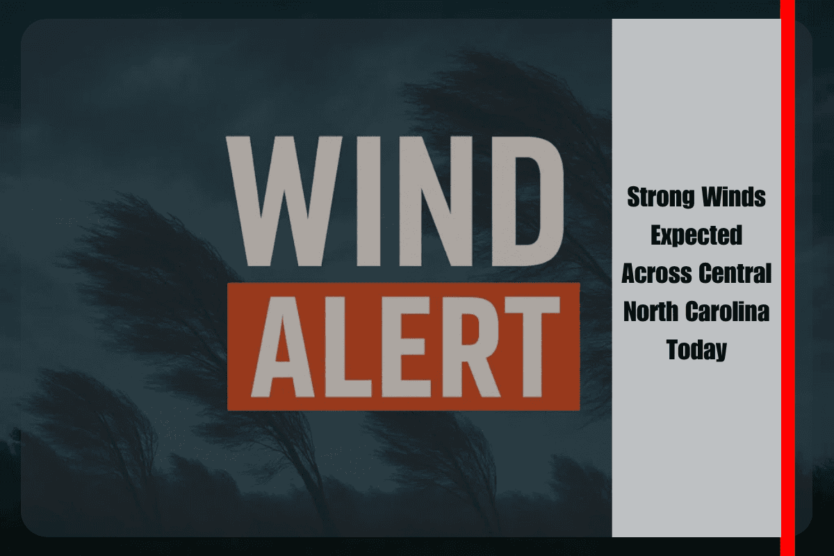
People in central North Carolina should prepare for windy conditions this afternoon, as gusts up to 40 mph are expected to move through the region. The National Weather Service in Raleigh has issued a Marginal Risk (Level 1 of 5) for severe weather until early Saturday night, mainly because of strong wind gusts.
Timing and Affected Areas
The strongest winds are expected between 1 p.m. and 8 p.m., especially in and around Greensboro, Asheboro, and Durham. These winds may come with passing showers or thunderstorms, but the main concern is their speed and suddenness.
Travel Safety and Outdoor Impact
Drivers along major highways such as I-40, I-85, and US-421 should be extra cautious. Sudden crosswinds could make driving dangerous, especially for larger vehicles and motorcycles. The roads may also become slippery during brief rain showers.
Some areas may see tree branches fall or experience minor power outages due to the gusty winds. People planning to be outside for errands or events should take extra care during this period.
Safety Tips
Residents are advised to:
Secure any outdoor furniture or decorations
Avoid unnecessary travel during the afternoon
Keep an eye on local weather alerts for updates
The wind may be short-lived but strong enough to cause quick-moving hazards.
Calm Weather After Sunset
The good news is that these conditions will not last long. The winds are expected to die down after sunset, and no further weather threats are expected for Sunday.
Strong wind gusts are set to hit parts of central North Carolina this afternoon. While storms may be brief, the wind could make travel and outdoor plans risky. Stay alert, take precautions, and expect calmer weather later tonight.


