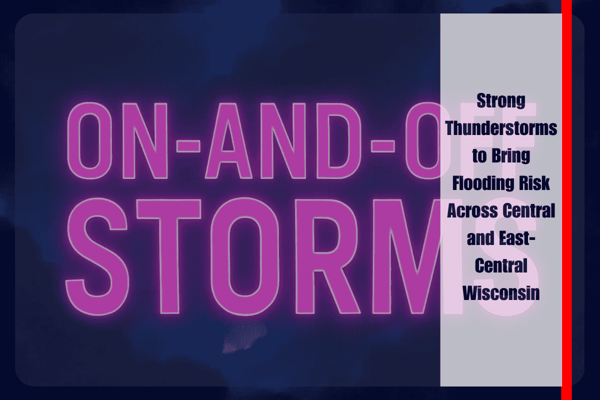
Strong thunderstorms are expected to sweep across central and east-central Wisconsin on Sunday afternoon, increasing the risk of urban and lowland flooding. The most dangerous period will be between 3 p.m. and 10 p.m., as storms could repeatedly pass over the same areas, potentially dropping 1 to 2 inches of rain per hour.
According to the National Weather Service in Green Bay, the greatest threat zone runs along and south of Highway 10, where there is at least a 15% probability of excessive rainfall leading to flash flooding. Areas from Oshkosh to Milwaukee may experience ponding on roads, rapid rises in creeks, and flooding in low-lying areas.
Drivers are urged to avoid water-covered roads, as floodwaters can conceal unstable ground or washed-out pavement. Emergency officials are stressing the importance of following the advice: “Turn around, don’t drown.”
The storms are expected to taper off late Sunday night as the slow-moving cold front shifts eastward. However, additional rainfall could keep flood-prone areas saturated into Monday.


