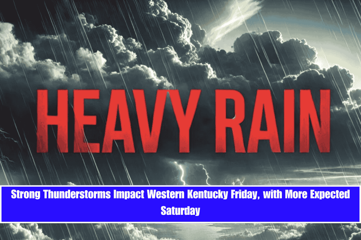
A stalled front is bringing strong thunderstorms to western Kentucky on Friday, with the main threat being damaging winds from 10 a.m. to 2 p.m. The storms will continue into Saturday, bringing heavy rain and the potential for isolated tornadoes.
Storm Threat for Friday and Saturday
According to the National Weather Service in Paducah, thunderstorms will move through the region on Friday and into Saturday, bringing rounds of intense rainfall and the possibility of isolated tornadoes. Areas most at risk include Paducah, Mayfield, Owensboro, and parts of southern Illinois and southeast Missouri.
The biggest concern for Friday is the threat of damaging straight-line winds. These storms may also produce heavy downpours that could lead to localized flash flooding, especially if multiple storms track over the same area. While most storms will move quickly, isolated locations could receive several inches of rain in a short amount of time.
Saturday’s Storm Potential
Saturday’s weather setup will be similar, with the storm risk increasing in the late afternoon and early evening. If storm development is delayed until then, conditions could be favorable for stronger winds and even a few spin-up tornadoes.
Storm Intensity and Safety
While this round of storms is not expected to be as intense as some past spring events, residents are still urged to stay weather-aware and prepared. Watches and warnings may be issued through Saturday, so it’s important to stay informed and take necessary precautions.


