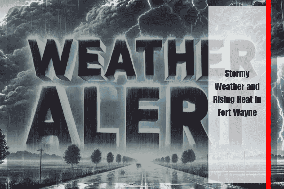
Fort Wayne, Indiana, is in for an active weather weekend, with storms expected to return on Sunday, July 20. Residents should be prepared for potential downpours, lightning, and gusty winds by late afternoon. Those driving along I-69 and US-24 should stay weather-aware after 2 p.m., as scattered thunderstorms could reduce visibility and create hazardous road conditions, including ponding on roads. Outdoor events may need to be adjusted or canceled due to the unstable conditions.
Sunday Storms and Brief Relief
According to the National Weather Service in Northern Indiana, storms are expected to develop after 2 p.m. on Sunday, with a 50% chance of rain and gusty winds possible. Highs will reach around 82°F, with storms gradually tapering off by late evening. Sunday night will remain mostly cloudy, with lows around 64°F and a lingering chance of showers. The rain is expected to ease by the end of the day, but keep an eye on local alerts.
Warmer Days Ahead
On Monday, Fort Wayne will get a brief respite from the storms, with sunny skies and a high near 82°F. However, the summer heat will quickly return on Tuesday and Wednesday, with temperatures climbing into the upper 80s and low 90s. Expect mostly sunny skies and high humidity during these days. By Thursday and Friday, another round of thunderstorms may bring relief, but high temperatures will remain in the 90s, with chances of afternoon storms increasing later in the week.
Heat Safety Tips
With the rising temperatures, it’s important to stay safe in the heat. Residents should limit outdoor activity during peak heat hours, stay hydrated, and monitor local weather alerts for any updates. Charge electronic devices in case of power outages, and be prepared for the possibility of cooling centers opening if the heat index exceeds safe limits by midweek.
Five-Day Weather Forecast for Fort Wayne (July 20-25)
Sunday, July 20: Scattered thunderstorms after 2 p.m.; high of 82°F; 50% chance of rain
Monday, July 21: Mostly sunny; high of 82°F, low of 61°F
Tuesday, July 22: Sunny and warmer; high of 85°F, low of 67°F
Wednesday, July 23: Partly cloudy, hot; high of 91°F, low of 74°F
Thursday, July 24: 30% chance of afternoon thunderstorms; high of 94°F, low of 73°F
Friday, July 25: Chance of storms; mostly sunny, high near 91°F
Fort Wayne is looking at a mix of storms and summer heat this week. After scattered thunderstorms on Sunday, expect the temperatures to climb quickly, with high heat and humidity pushing into the upper 80s and 90s. Stay safe by limiting outdoor activities during peak heat hours and keeping up with local weather alerts as the storms and rising temperatures continue through the week.


