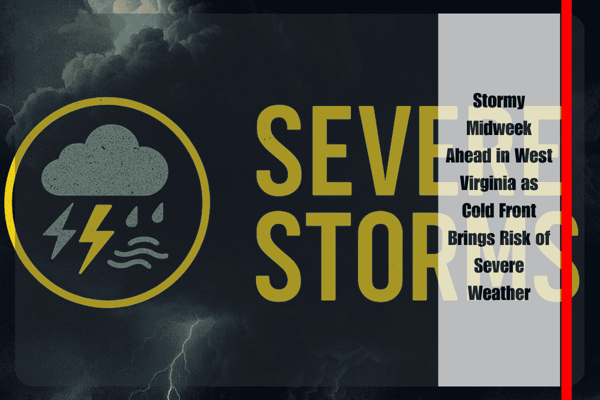
West Virginia residents will need to keep a close eye on the skies through the middle of the week as a developing weather pattern brings increasing chances for showers and storms. While scattered rain and thunderstorms return Wednesday, forecasters are cautioning that Thursday could bring more significant impacts as a strong cold front sweeps across the state. The National Weather Service in Charleston warns that isolated severe storms are possible, with damaging winds being the primary concern.
On Wednesday, conditions across much of the Mountain State will be unsettled but manageable. Scattered showers and scattered thunderstorms are expected to develop through the day as warmer, more humid air lingers ahead of the approaching cold front. Afternoon highs will climb into the 70s and low 80s—fairly typical for early September. While Wednesday’s storms should remain on the weaker side, any heavier downpours could briefly reduce visibility on the roads, and motorists are encouraged to allow extra time for afternoon and evening commutes.
The weather picture shifts more dramatically on Thursday, when the advancing cold front interacts with a moist and unstable atmosphere. Widespread showers and thunderstorms are forecast to develop across the state, with activity ramping up during the afternoon and continuing into the evening. The Storm Prediction Center has placed much of central and northern West Virginia, including cities like Charleston, Huntington, Parkersburg, and Clarksburg, under a marginal risk for severe weather. That means while widespread severe storms are not expected, a few stronger cells could produce damaging wind gusts. Heavy rainfall will also be a concern, with localized downpours capable of leading to ponding on roads or brief flooding of low-lying areas. Higher-elevation communities such as Elkins and Beckley should stay weather-aware as storms in mountainous terrain can intensify quickly.
Drivers are urged to exercise caution as storms cross the region Thursday. Travel delays are possible, especially during heavy rain or where gusty winds bring down branches or power lines. Officials also recommend avoiding flooded roadways and staying prepared for possible outages. Keeping electronic devices charged and securing outdoor objects that could be blown around by high winds are additional precautions residents can take ahead of the storm system.
By Friday, relief is on the horizon. Behind the front, drier and much more comfortable air will spread across West Virginia. Sunshine returns to end the workweek, with afternoon highs ranging from the upper 60s to near 80 depending on location. Friday will feel noticeably less humid, setting up an ideal stretch of weather heading into the weekend.
The weekend forecast looks particularly favorable for outdoor plans. Saturday should bring mild and dry conditions with plenty of sunshine and afternoon highs reaching the low 80s. This pleasant weather pattern will continue to dominate into Sunday, allowing residents and visitors to enjoy early September activities without the risk of storms looming overhead.
In summary, while West Virginia faces a stormy stretch midweek—particularly Thursday with the risk of isolated severe storms—the unsettled conditions will be short-lived. Once the cold front passes, a return to warm, sunny, and mild weather will provide a welcome change, ensuring the weekend is both safer and more enjoyable for outdoor activities across the state.


