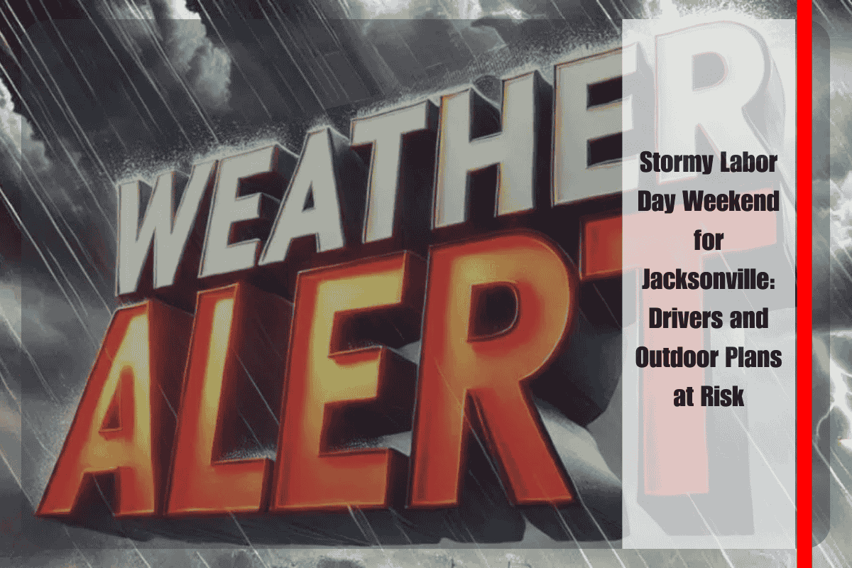
Jacksonville drivers should be prepared for hazardous road conditions this Labor Day weekend as storms roll through the region. Strong downpours and gusty winds could make travel along I-95 and other major routes challenging, while outdoor plans may be disrupted by frequent thunderstorms and lightning. Early preparations are key to navigating the stormy weather.
According to the National Weather Service in Jacksonville, thunderstorms and rain are expected to continue through Labor Day, with storm chances near 80%. Showers may begin as early as late Monday morning, bringing heavy rain, frequent lightning, and potential flooding in low-lying areas. The breezy conditions may also make boating along the St. Johns River and near the coast hazardous.
The stormy pattern will begin on Saturday, with widespread thunderstorms likely in the afternoon and evening. Heavy rain in some areas, especially west of the city, could produce up to an inch of rain. Travelers on I-10, I-95, and U.S. 301 should expect potential delays due to the storms. The National Weather Service advises residents to keep their phones charged and avoid flooded roads to ensure safety.
Sunday will continue the stormy trend, with scattered storms early in the day giving way to widespread thunderstorms in the afternoon. High temperatures will be near 87°F, but the storms will make it feel even more unsettled. The risk of localized flooding remains a concern, especially as rainfall accumulates in specific areas.
Labor Day Monday will see more storms, with breezy conditions complicating both travel and outdoor plans. The high will be near 83°F, and showers could continue throughout the day. Residents with holiday gatherings or outdoor events should stay aware of the timing of storms, particularly during the afternoon hours when lightning is most frequent. The National Weather Service has issued warnings for storm threats through the holiday.
By midweek, Jacksonville may experience some relief from the stormy conditions. Showers will taper off late Tuesday into Wednesday as a cold front settles farther south. While Florida will remain warm, much of the nation will experience a cool-down, with fall-like air moving into the Midwest and Ohio Valley. In Jacksonville, temperatures will remain in the upper 80s, but humidity levels may ease slightly.
The five-day forecast for Jacksonville shows continued stormy weather through Monday with a gradual shift by midweek:
- Saturday: Showers and thunderstorms, high near 85°F, storms likely overnight.
- Sunday: Scattered storms early, widespread thunderstorms later, high near 87°F.
- Labor Day Monday: Storms and breezy conditions, high near 83°F.
- Tuesday: Thunderstorms likely in the afternoon, high near 88°F.
- Wednesday: Mostly sunny, fewer storms, high near 88°F.


