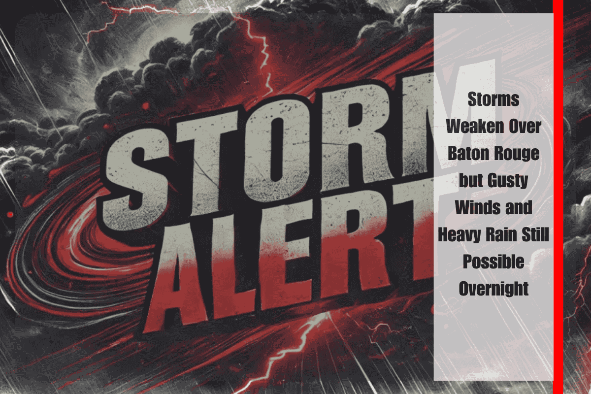
Baton Rouge, Louisiana – Severe weather that moved through the Baton Rouge metro Thursday evening has weakened, but the National Weather Service (NWS) warns that gusty winds and heavy rainfall may continue into the night. The earlier Severe Thunderstorm Warning for Ascension, West Baton Rouge, Iberville, and East Baton Rouge parishes expired at 6:30 p.m., after the system dropped below severe thresholds.
While the storm is no longer classified as severe, it remains capable of producing strong wind gusts and localized flooding, especially in areas with poor drainage. Evening commutes along I-10, LA-30, and other major routes could still be affected, with low-lying roads at risk of temporary water buildup.
Emergency officials are urging residents to stay alert, avoid driving through flooded streets, and report any downed trees, power lines, or other hazards to local authorities. Even without hail or tornado threats, unstable atmospheric conditions could linger until early Friday morning, particularly in southern East Baton Rouge Parish.
The NWS advises keeping up with local weather updates in case storms intensify again later tonight. Having a flashlight, charged devices, and an emergency plan in place can help residents respond quickly if conditions worsen.
While this evening’s severe threat has diminished, the potential for flooding and hazardous travel remains, making caution essential for anyone out late or commuting during the remaining storms.


