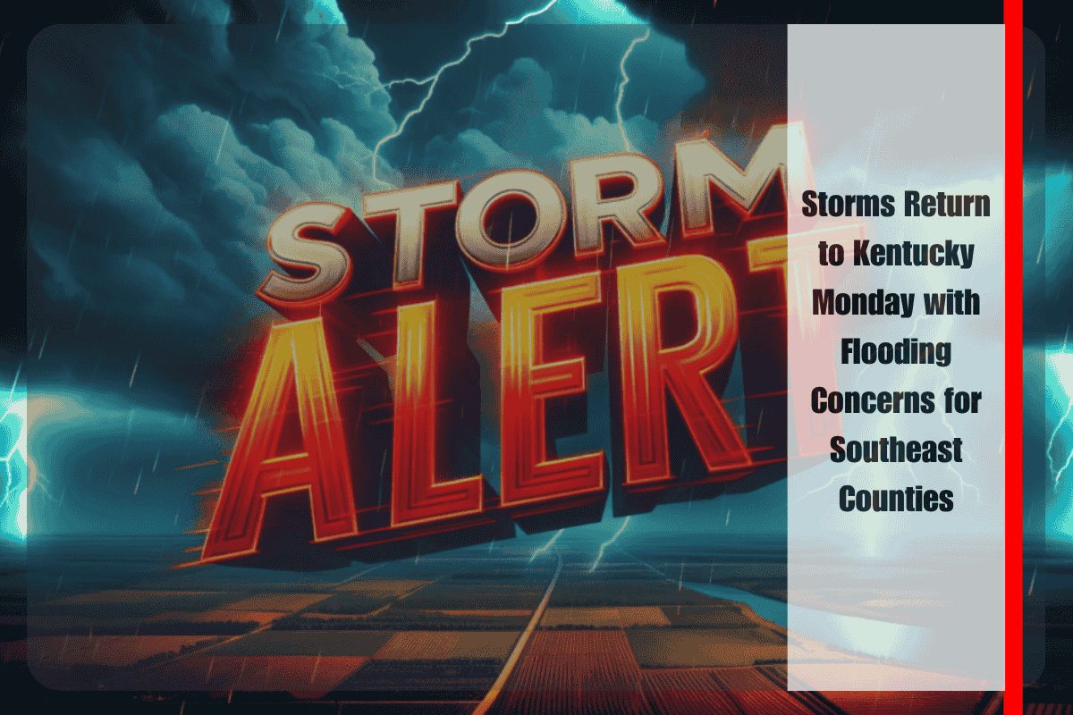
Jackson, Kentucky – A fresh round of showers and thunderstorms is set to sweep across the Bluegrass State starting Monday afternoon, with the strongest impact expected in southeastern Kentucky through Tuesday morning. The National Weather Service in Jackson warns that while rainfall totals are forecast to stay under one inch, the potential for “training” storms—multiple rounds of heavy rain moving over the same area—may lead to localized flash flooding, especially in Harlan, Bell, and Pike counties.
The first wave of storms is expected to develop late Monday in southwestern Kentucky, gradually expanding eastward into the night. By Monday evening and overnight, southeastern regions will face the highest risk of intense rainfall and brief flooding, particularly in low-lying and flood-prone areas.
Storm hazards include:
- Heavy downpours in a short span of time
- Ponding water on roads, especially rural or poorly drained areas
- Rapid rises in creeks, streams, and small rivers
While no widespread flooding is expected, forecasters caution that localized issues are possible—especially if thunderstorms stall or repeatedly pass over the same towns. Areas like Pikeville, Middlesboro, and Hazard could see more significant rainfall than surrounding counties due to this “training” effect.
Emergency officials urge residents to prepare by:
- Avoiding travel on known flood-prone roads during and after heavy rain
- Securing outdoor furniture, trash bins, or loose yard items
- Keeping mobile devices charged to receive real-time weather alerts or emergency messages
By Tuesday afternoon, the thunderstorm activity is expected to taper off, though some lingering showers may still affect the easternmost counties. If flooding becomes more likely overnight, the National Weather Service may issue flood advisories or flash flood warnings, so residents should continue to monitor weather forecasts closely.
This round of storms follows a stretch of dry days for much of Kentucky, meaning the ground may initially absorb some rainfall, but heavier bursts can still overwhelm drainage systems in minutes. Drivers are especially cautioned to avoid crossing water-covered roads, even if they appear shallow. “Turn around, don’t drown” remains the safest approach.
Looking ahead, the midweek forecast points to drier and more stable weather, but isolated afternoon storms may return later in the week depending on regional moisture levels.
Stay weather-aware, especially if you live in a southeastern Kentucky county, and be prepared for possible quick changes in local conditions through Tuesday morning.


