Hastings, Nebraska, is gearing up for a week of rising summer temperatures and the potential for thunderstorms. By Sunday evening, July 20, the area could experience a round of storms as the region braces for increasingly sweltering conditions. The National Weather Service in Hastings predicts a 10% chance of thunderstorms before 7 a.m. Sunday, with another round of storms expected after 7 p.m. These evening storms may bring brief downpours, with northeast winds at 10 mph and possible rainfall totals of up to three-quarters of an inch in isolated areas.
Drivers along Highway 6 and Route 281 should stay alert for slick conditions and reduced visibility if rain develops late Sunday. The storms are expected to ease by the evening, but the weather will begin to heat up quickly in the days that follow.
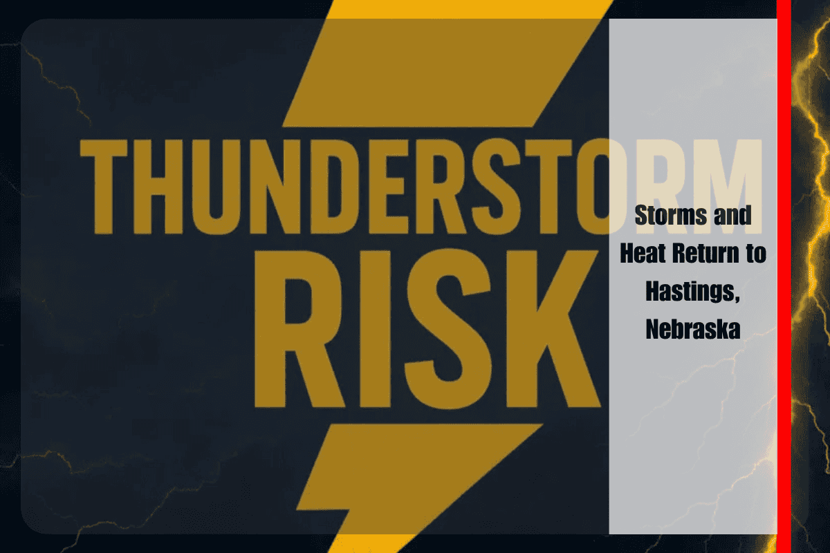
Hot Days Ahead with Isolated Storms
Monday, July 21, will bring mostly sunny skies and a high of 93°F. However, the hottest day of the week is expected to be Tuesday, with temperatures climbing to 96°F and no rain in sight. Overnight lows will remain warm and muggy, staying in the lower 70s through midweek. There’s a slight chance of storms Monday night (20%) and again on Wednesday (30%), especially in eastern portions of Adams County. While these storms are expected to be scattered, outdoor workers and commuters should remain weather-aware during evening hours.
Heat Safety Tips
As temperatures rise, residents are advised to stay hydrated, limit outdoor activities during peak afternoon heat, and check on vulnerable neighbors or pets who may be affected by the heat. While warnings remain minimal for now, additional heat advisories may be issued by midweek, especially as the heat continues to build. It’s important to stay prepared for this prolonged heat stretch and to be cautious when it comes to outdoor exposure.
Five-Day Weather Forecast for Hastings (July 20-25)
Sunday, July 20: High of 88°F, 10% chance of AM storms, 50% chance of PM storms
Monday, July 21: High of 93°F, mostly sunny, 20% chance of PM storms
Tuesday, July 22: High of 96°F, hot and sunny
Wednesday, July 23: High of 94°F, 30% chance of PM showers/storms
Thursday, July 24: High of 91°F, mostly sunny, dry pattern continues
Friday, July 25: High of 93°F, mostly sunny, no rain expected
Hastings is facing a week of hot and humid weather, with thunderstorms expected to make a brief appearance on Sunday evening. By Tuesday, temperatures will climb to the high 90s, and the heat will remain intense throughout the week. With a few scattered storms expected midweek, residents should be prepared for a combination of rising temperatures and occasional rain, and take necessary precautions to stay safe during the heat.


