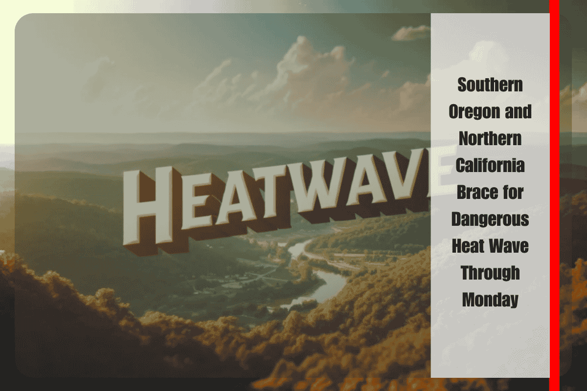
Medford, Oregon – A powerful heat wave is building across southern Oregon and northern California, with temperatures expected to soar into the low 100s by the weekend and continue into early next week. The National Weather Service (NWS) in Medford warns that stable atmospheric conditions are driving this intense warming trend, pushing parts of the region into Moderate to Major HeatRisk levels.
The areas facing the highest heat threats include west side valleys such as Medford and Grants Pass, along with coastal cities like Brookings, which may experience hotter-than-usual temperatures due to offshore wind patterns. Communities inland will be hit the hardest, with daytime highs climbing 5 to 10 degrees above normal and little relief overnight, particularly in valleys where temperatures may stay warm well past sunset.
Cities such as Yreka, Medford, Grants Pass, and Brookings are all expected to approach or exceed 100°F, especially between Saturday and Monday. While coastal areas usually benefit from cooler marine air, the Brookings area is known for its “Chetco Effect”, which can rapidly increase temperatures when east winds push dry, hot air toward the coast.
Health officials are issuing strong warnings, especially for seniors, young children, outdoor workers, and anyone without access to air conditioning or reliable hydration. The combination of prolonged daytime heat and minimal overnight cooling can quickly lead to heat exhaustion or heat stroke, particularly if people are exposed for long periods.
Residents are urged to take immediate precautions. The safest approach during this stretch of heat is to stay indoors during peak afternoon hours, typically between 1 PM and 6 PM, when the sun is at its strongest. Use fans or air conditioning where available, drink plenty of water, and avoid strenuous activity outdoors during the hottest times of day.
If you must be outside—whether for work, errands, or recreation—wear light-colored, loose-fitting clothing, take frequent breaks in the shade, and carry water at all times. Local organizations may open cooling centers, especially in areas with limited access to indoor climate control, so keep an eye out for community announcements.
The National Weather Service notes that this heat wave is expected to persist through at least Monday, with forecasts being monitored closely in case more serious warnings or heat advisories are needed. The elevated heat risk could trigger heat advisories, excessive heat warnings, or red flag warnings if dry conditions also raise the wildfire danger.
Residents are encouraged to check on neighbors and loved ones, especially those who live alone or may not have access to adequate cooling. Pets and animals should also be kept indoors or provided with shade and plenty of fresh water.
As the weekend approaches, prepare for rapidly rising temperatures and stay informed by monitoring NWS Medford forecasts, local alerts, and community updates regarding cooling centers or heat safety tips.


