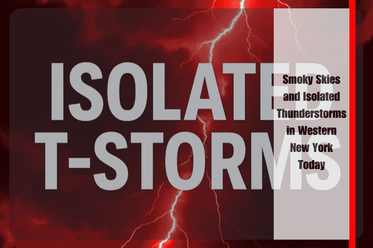
Buffalo, N.Y. – A clash of smoky skies and much-needed rainfall is shaping the weather story across Western New York today, as isolated thunderstorms are expected to develop through the afternoon and early evening hours. According to the National Weather Service in Buffalo, the storm activity will be scattered, with only a small portion of the region likely to see measurable rain. Still, any showers or downpours that do form will be a welcome change after several dry and hazy weeks.
Areas most likely to experience brief thunder or rain include Erie, Niagara, and Genesee counties, though most communities—including Buffalo, Batavia, and Watertown—will remain dry, with rain chances around 20% or less. The storms that do pop up could bring short bursts of heavy rain, capable of creating slick road conditions during the late afternoon and early evening commute.
At the same time, smoke from regional wildfires continues to drift into the area, keeping skies hazy and limiting visibility across much of Western New York. Towns such as Lockport, Hamburg, and Niagara Falls are already experiencing reduced air clarity. The smoky haze may not be thick enough to trigger widespread air quality alerts, but those with asthma or other respiratory conditions should limit outdoor activity, especially during the warmest part of the day.
Temperatures are expected to climb into the low to mid-80s by mid-afternoon, though humidity will stay at comfortable levels, avoiding the sticky, muggy air that’s typical of midsummer in the region. While the weather may not feel oppressive, the smoke overhead will dull the sun, giving the sky a filtered, almost overcast appearance throughout the day.
Drivers and travelers are advised to remain alert, particularly in areas where a quick downpour could reduce visibility or lead to minor pooling on roadways. Since the storms are expected to be isolated and short-lived, they may pass quickly without widespread impact—but even a brief thunderstorm can disrupt afternoon plans or catch commuters off guard.
After sunset, the thunderstorm threat will diminish, and the forecast returns to a more typical summer pattern: warm, hazy evenings with only a small chance for stray showers. The haze from wildfire smoke is expected to linger into Wednesday, though conditions may gradually improve depending on wind shifts and regional fire activity.
No watches or warnings are currently in place, but the National Weather Service will issue updates if storm activity increases or if visibility and air quality worsen across the region. Until then, residents are encouraged to keep windows closed, check on vulnerable neighbors, and monitor local forecasts for the latest changes.


