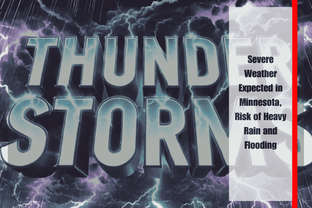
Minneapolis, Minn. – Severe weather is set to impact Minnesota through Monday, bringing heavy rain, localized flooding, and the possibility of damaging storms across much of the state. Travel and outdoor activities may be disrupted, especially in the Twin Cities and surrounding areas, as conditions worsen.
The National Weather Service in Chanhassen has warned that thunderstorms are likely to intensify Sunday afternoon and evening, with the potential to turn severe. Wind gusts and torrential downpours are expected, which could create hazardous driving conditions on major highways such as I-35, I-94, and Highway 52. A 40% chance of storms will persist into Monday before calmer weather takes over later in the week.
Localized flooding is a concern, especially in low-lying and urban areas where heavy rain could fall in quick bursts. Emergency officials advise residents to avoid driving through water-covered roads and to ensure that phones and weather radios are fully charged in case of power outages. SKYWARN spotters may be activated Sunday to monitor the developing storms.
Although drier and calmer conditions are expected by Tuesday, additional weather alerts could be issued if storms redevelop in the coming days.
Five-Day Forecast for Minneapolis, MN:
- Sunday: High near 79°F, thunderstorms likely, some severe, heavy rain possible
- Monday: Chance of storms, high near 84°F, partly sunny by afternoon
- Tuesday: Partly sunny, high near 78°F, low around 61°F at night
- Wednesday: Sunny, high near 80°F, mostly clear overnight, low 62°F
- Thursday: Mostly sunny, high near 81°F, southeast winds strengthening by morning


