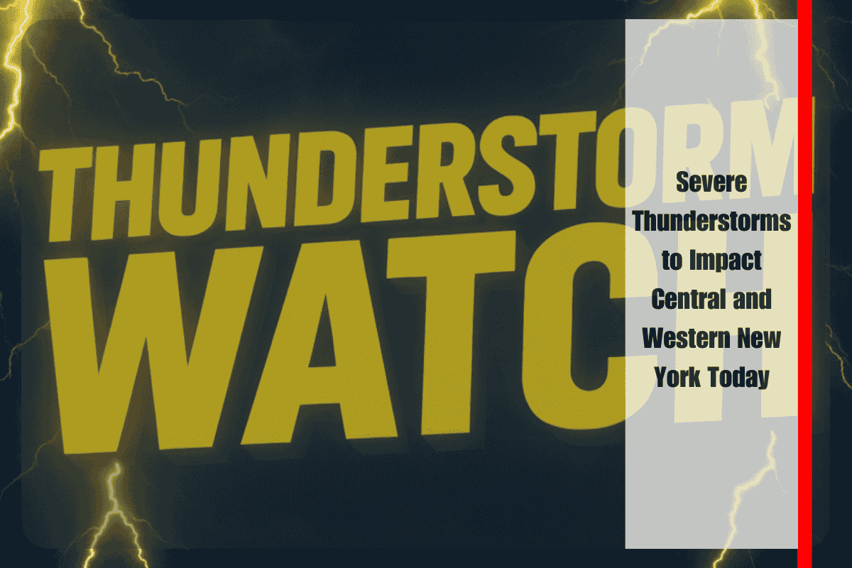
People in Central and Western New York should stay alert as severe thunderstorms are expected through Saturday evening. The National Weather Service’s Storm Prediction Center has issued a Severe Thunderstorm Watch until 8 p.m. EDT for 15 counties, including Onondaga, Broome, Steuben, and Oneida.
What to Expect: Winds, Hail, and Power Cuts
These storms may bring wind gusts of up to 60 mph, isolated hail, and heavy rain in short bursts. This could lead to local flooding in low-lying areas. Cities like Syracuse, Binghamton, Ithaca, and Elmira are all within the high-risk zone.
With strong winds, trees may fall, and power lines could be damaged. Residents should be prepared for temporary power outages and blocked roads due to fallen branches or flash flooding.
Timing and Travel Warnings
The most intense storms are expected between 2 p.m. and 7 p.m., especially near the I-81 and Route 17 corridors. Emergency officials have advised people to avoid unnecessary travel, bring in outdoor items, and follow local alerts for updates.
Lightning and sudden changes in visibility may create dangerous driving conditions. If you must travel, drive carefully and stay alert.
Recent Storm History and Today’s Risk
This is the second severe storm watch in the region this month. A previous storm on June 13 caused scattered damage and power outages in Chenango County. Today’s system could bring similar or more widespread impacts.
Strong storms are expected across Central and Western New York this afternoon and evening. Residents should stay indoors, watch for weather alerts, and prepare for wind, rain, and power disruptions. The storm threat will decrease later tonight, but updates may be issued depending on how the system evolves.


