Residents in Maryland, particularly those in Baltimore and surrounding areas, should prepare for severe thunderstorms expected to impact the region this Tuesday afternoon and evening. The storms could bring damaging winds, large hail, and localized flooding in many counties.
Thunderstorm Watch and Potential Hazards
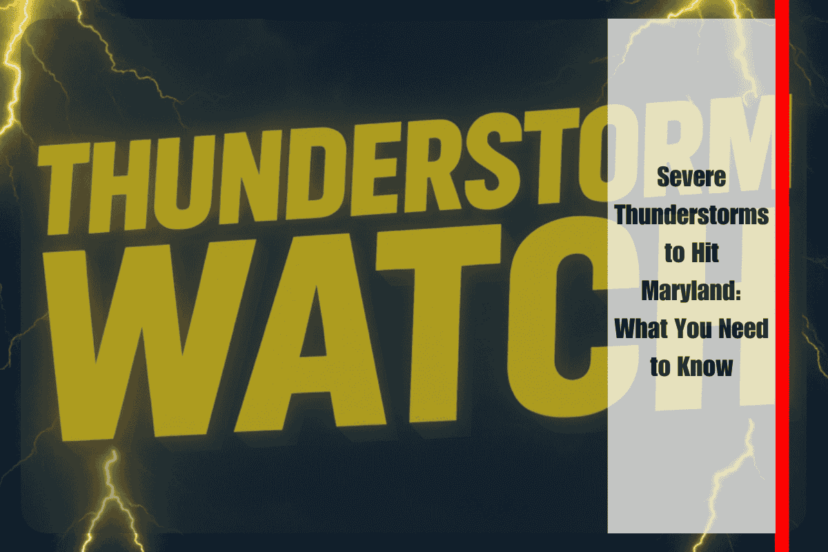
The National Weather Service has issued a Severe Thunderstorm Watch for areas including Baltimore City, Montgomery County, Frederick, Anne Arundel, and the entire Eastern Shore. The watch is in effect until 9 p.m. EDT and covers nearly all of central, southern, and eastern Maryland. These storms may develop rapidly, with wind gusts possibly exceeding 60 mph.
Flash Flooding and Travel Disruptions
Heavy rainfall is a major concern, as it could lead to flash flooding, especially on major roadways such as I-95, U.S. Route 50, and Route 301. Drivers should be extra cautious during the evening commute, as conditions could worsen quickly. Downed trees and power lines may result in power outages, making it essential for residents to charge their devices and prepare for potential disruptions.
Coastal Hazards
For those living along the coast in Calvert, St. Mary’s, and Worcester counties, there are additional concerns. The Chesapeake Bay could see high winds and choppy waters, which may pose a danger to boaters and those near the shore.
What You Can Do to Stay Safe
To stay safe during the storm, make sure to secure any loose outdoor items that could be blown away by strong winds. Avoid driving on flooded roads, and stay informed by checking weather updates. It’s also important to have a backup plan for power outages, so keep your mobile devices charged and ready.
As severe thunderstorms move across Maryland, it’s crucial to stay alert and be prepared. While the worst of the weather is expected to taper off after sunset, continue monitoring updates in case additional warnings or changes to the forecast occur.


