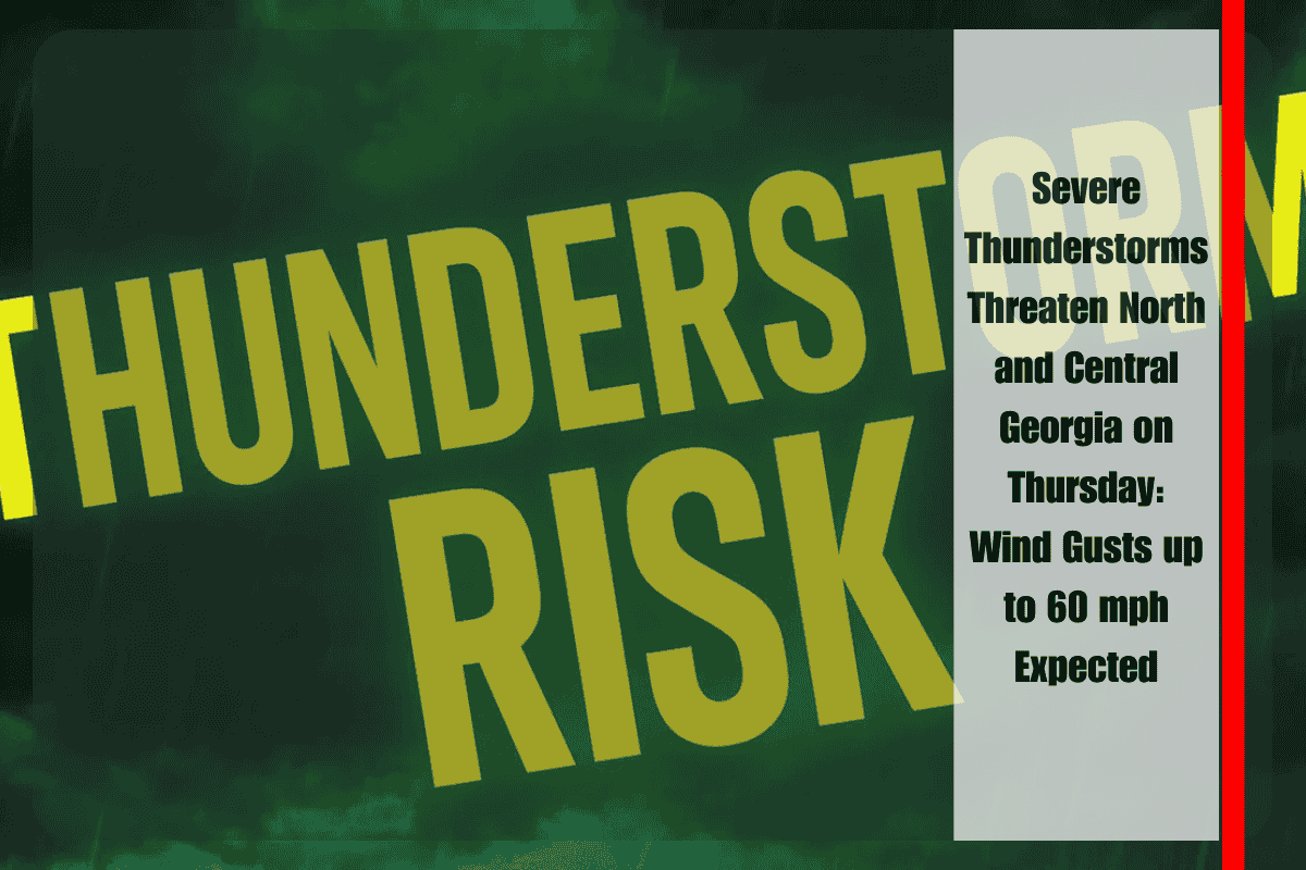
Atlanta, Ga. – Strong thunderstorms are set to affect north and central Georgia on Thursday afternoon and evening, bringing the potential for damaging wind gusts of up to 60 mph. The National Weather Service in Peachtree City warns that storms will be most active between 2 p.m. and 10 p.m., with the greatest threat concentrated in north Georgia.
Cities such as Dalton, Rome, Gainesville, and Atlanta are in the storm’s path, where localized winds could cause downed trees and power lines, leading to potential power outages and disruptions. The storms are expected to develop ahead of a slow-moving cold front pushing into the state, with scattered showers building throughout the afternoon.
While hail and tornadoes are not expected to be significant threats, isolated cells could still cause hazardous travel conditions, particularly during the evening commute. Drivers on interstates I-75, I-85, and I-20 should be prepared for sudden downpours that may reduce visibility and make road conditions slippery.
Residents are advised to secure outdoor furniture and items, as strong gusts could cause damage. Additionally, power outages are possible due to the intensity of the storms. The severe weather risk is expected to subside late Thursday night, though rain and storms may linger into Friday as the cold front continues its southward progression.


