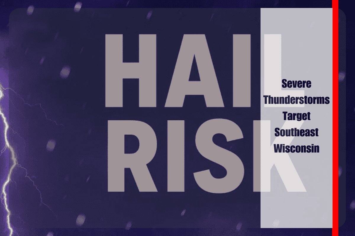
Southeast Wisconsin is under threat this afternoon as strong thunderstorms sweep across the region, prompting a Severe Thunderstorm Watch until 6 p.m. Monday. The National Weather Service in Milwaukee/Sullivan warns that residents in Milwaukee, Kenosha, Racine, Waukesha, Walworth, Washington, and Ozaukee counties should brace for damaging winds, heavy rainfall, and hail as storms intensify.
Damaging Winds, Hail, and Power Outage Risks
Forecasters caution that some of the stronger storm cells may produce wind gusts up to 60 mph and hail approaching one inch in diameter. These hazards could down tree limbs, damage vehicles, and disrupt power lines, leading to isolated outages. Lightning strikes add another layer of risk, especially in the more heavily populated areas of Milwaukee, Racine, and Kenosha where storms are concentrated.
Impacts on Travel and Outdoor Activities
Commuters along I-94 from Milwaukee to Kenosha are urged to use caution as sudden downpours may reduce visibility and create slick roadways during the evening rush. Heavy bursts of rain could cause localized street flooding in low-lying spots, further complicating travel.
Outdoor events in Waukesha, Lake Geneva, and surrounding communities face likely interruptions as storms pass through. Organizers are encouraged to monitor conditions closely and prepare to move attendees to safer locations until the threat subsides.
Preparedness and Safety Guidance
Emergency management officials advise residents to secure loose outdoor items such as patio furniture, umbrellas, or trash bins to prevent wind damage. Nonessential travel should be postponed until storms clear the area. Staying indoors and away from windows remains the safest option during severe weather.
Outlook Into Midweek
The immediate thunderstorm threat is expected to ease by early evening as the current line of storms moves east. However, the atmosphere will remain unstable, and forecasters note that additional rounds of storms are possible through midweek.
If conditions deteriorate, further watches or warnings may be issued, making it important for residents to stay weather-aware over the next several days. For now, southeast Wisconsin faces an active afternoon of severe weather, with the greatest hazards coming from damaging winds, hail, and intense rainfall.


