Powerful thunderstorms slammed into northern and central Illinois Monday evening, unleashing 60 mph wind gusts, torrential rainfall, and a heightened risk of flash flooding across multiple counties. The National Weather Service offices in Chicago and Lincoln issued warnings shortly after 8 p.m., urging residents to take immediate shelter as the storm line raced eastward.
Warnings and Confirmed Wind Damage
Counties under warnings included Will, Fulton, Knox, and Peoria, with storms producing widespread hazardous conditions. Radar indicated damaging winds sweeping through Naperville, Plainfield, Bolingbrook, and Joliet, while emergency managers confirmed a 57 mph gust in Farmington at 8:12 p.m.
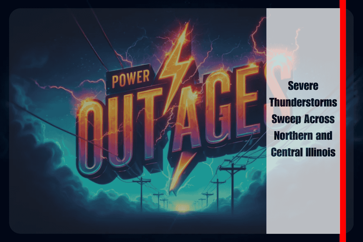
Officials caution that wind gusts of this magnitude can topple trees, snap power lines, and damage vehicles or structures. Power outages remain a significant concern as the storms continue to intensify.
Communities in the Path
The storm line is advancing east at 40 to 50 mph, threatening communities across the region. In the Chicago metro area, Shorewood, Romeoville, Lockport, Minooka, and Crest Hill face an immediate threat from damaging winds and flash flooding.
Farther south, central Illinois towns such as Trivoli and Hanna City are bracing for destructive winds as the system pushes through. Heavy rainfall is expected to overwhelm drainage systems, leading to hazardous conditions on roadways and underpasses.
Travel and Safety Hazards
Motorists are urged to avoid travel until storms pass. Torrential rainfall may cause rapid ponding on roads, significantly reducing visibility and creating dangerous driving conditions. Flooded intersections and highways remain a key threat as the storm system sweeps eastward.
The National Weather Service recommends that residents shelter in interior rooms away from windows, stay off roads, and remain tuned to weather alerts for fast-changing conditions.
Outlook Overnight
With storms continuing to strengthen, additional advisories or warnings are likely overnight. The atmosphere remains primed for severe weather, and residents across Illinois are advised to remain on high alert.
For now, much of northern and central Illinois faces an active and dangerous night, with damaging winds, flooding rain, and rapid storm development posing threats well into the overnight hours.


