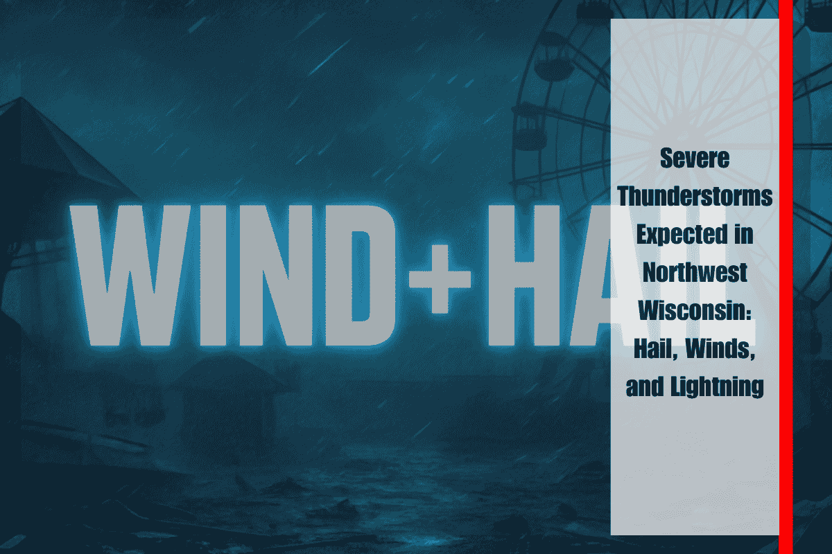
Strong thunderstorms are expected to intensify across northwest Wisconsin this afternoon, bringing with them the potential for large hail, damaging winds, torrential downpours, and dangerous lightning. The National Weather Service in Duluth warns that these storms could cause hazardous travel conditions, especially in rural areas where trees and power lines are vulnerable to damage.
The greatest risk for severe weather extends from Superior to Hayward and Park Falls, with conditions developing by mid-afternoon and continuing into the evening. The strongest storm cells may also affect the far eastern Twin Ports region. Drivers should be prepared for sudden low visibility and slippery roads due to heavy rain, and boaters on Lake Superior should remain cautious due to the risk of lightning and high winds.
Residents are advised to secure outdoor items, avoid open areas during lightning, and keep an eye on NOAA Weather Radio or local weather alerts for updates. While the tornado threat remains low, the combination of hail, strong winds, and lightning can still cause significant damage and injuries.
The storm threat will begin to diminish later tonight, but scattered showers may linger into Sunday morning. Stay informed and take necessary precautions to stay safe during this severe weather event.


