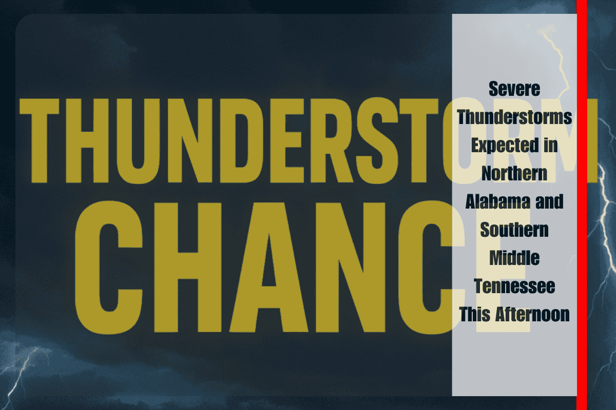
A cold front is set to trigger intense thunderstorms across northern Alabama and southern Middle Tennessee this afternoon, bringing risks of damaging winds, heavy rainfall, and dangerous lightning.
Timing and Areas of Concern
The National Weather Service in Huntsville warns that scattered thunderstorms are likely between 1 and 6 p.m., particularly south of the Tennessee River. Some storms could intensify, producing wind gusts of up to 60 mph and heavy rainfall that may lead to minor flash flooding. The southeastern parts of the region, including areas like Madison, Limestone, and Morgan counties, have the highest storm chances, with probabilities reaching 50-60%.
Travel and Safety Recommendations
Drivers along I-565, US-72, and in counties like Madison, Limestone, and Morgan should be prepared for rapidly changing conditions. There could be ponding on roads, which may make travel hazardous. Local emergency officials advise residents to secure outdoor items and avoid unnecessary travel, especially during the afternoon peak hours when storms are most intense.
Possible Impacts and Preparation
The strongest storms may bring power outages and tree damage due to high winds. Residents are advised to charge mobile devices, monitor weather alerts, and prepare a lightning safety plan for staying indoors. This round of thunderstorms is part of a series of summer storms affecting the region, with similar impacts to those seen in late June.
While thunderstorm risks will decrease after 6 p.m., further advisories may be issued if new storms develop overnight. Stay tuned to the latest warnings and updates.


