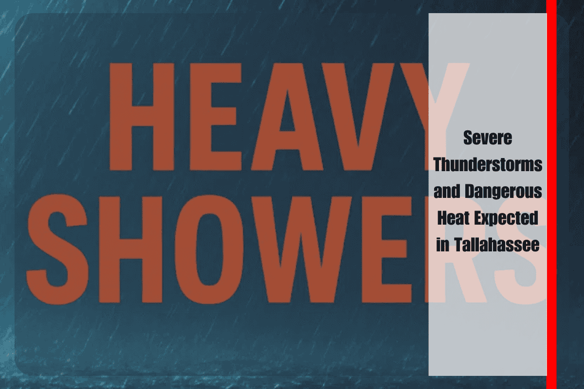
Tallahassee, Florida – Severe thunderstorms are set to move into the Tallahassee area on Thursday, July 24th, bringing heavy rainfall and a summer heat index reaching near 105°F. Drivers on US-319, US-90, and other area roadways should expect changing conditions and possible water buildup from afternoon storms.
According to the National Weather Service, showers and thunderstorms are expected to develop after 2 p.m. Thursday, with some cells capable of producing heavy rainfall and frequent lightning. Thunderstorms may continue through the evening, with southeast winds shifting to south winds around 5 mph as the front moves through.
Immediate local impacts include reduced visibility and slick roads, especially on US-319, US-90, and I-10 near Tallahassee during downpours. Residents should prepare for delays and avoid unnecessary travel when storms pass through. Power outages may occur, so it’s advised to charge devices and keep a flashlight on hand. If you’re heading outdoors, make sure to stay hydrated, as heat index values will approach dangerous levels, particularly before storms arrive.
The unsettled weather pattern will continue into Friday, with another round of thunderstorms expected in the afternoon and evening, followed by drier, partly cloudy weather returning by Friday night. Saturday will bring another heat wave, with highs near 95°F and a 50% chance of storms. The risk of afternoon and evening thunderstorms will continue throughout the weekend and into next week, with temperatures staying in the mid-to-upper 90s.
Weather alerts remain in effect through Saturday, with the highest risk of thunderstorms and heavy rain occurring in the afternoons. Keep updated through trusted weather sources and be ready to take shelter if warnings are issued.
Tallahassee 5-Day Weather Forecast (Thursday, July 24 – Monday, July 29):
Thursday: Showers and thunderstorms likely after 2 p.m., high of 89°F, storms may be heavy at times.
Thursday Night: Thunderstorms possible before 2 a.m., then scattered showers, low of 76°F.
Friday: Showers and storms likely between 2–5 p.m., possibly a thunderstorm after 5 p.m., high of 92°F.
Saturday: 50% chance of showers and thunderstorms after 2 p.m., high of 95°F.
Sunday: 30% chance of afternoon storms, otherwise partly sunny, high of 98°F.
Monday: Continued chance of thunderstorms, highs near 100°F.
Stay safe and stay prepared as severe storms and dangerous heat conditions impact Tallahassee over the next few days!


