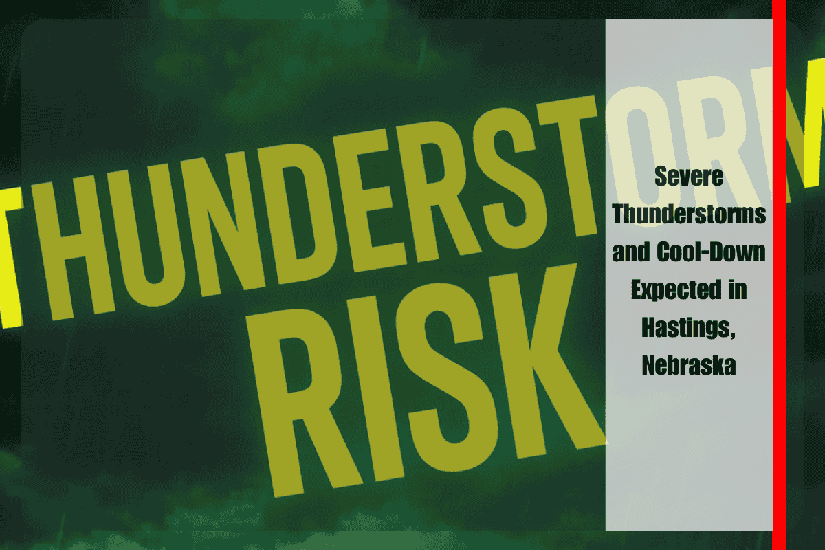
Hastings, Nebraska, is bracing for severe thunderstorms and a much-needed cool-down as scorching heat gives way to stormy conditions Tuesday evening. The National Weather Service has issued a Slight Risk for severe thunderstorms from 7 p.m. to 2 a.m., affecting central and south-central Nebraska, including areas from Hastings to Kearney. Residents should prepare for strong winds, heavy rain, and a 15-degree temperature drop by Wednesday morning.
Storm Risks and Preparations
The storms, expected to move in late Tuesday evening, could bring damaging straight-line winds of 60 MPH or more, localized rainfall of up to two inches, and a smaller chance of hail. With these conditions, power outages and flooded roadways are a concern, especially along highways like I-80 and US-281.
Tuesday will be the last day of oppressive 90°-100° heat and high humidity before temperatures cool into the upper 70s and mid-80s by Wednesday. While northern areas might experience cooler weather sooner, the majority of the region should expect storm activity in the evening and into the overnight hours.
Safety Measures and Alerts
Emergency managers are advising residents to take precautions ahead of the storm. Outdoor items should be secured, devices should be fully charged, and unnecessary travel should be avoided during the storm window. The winds will shift from the south to the north by Wednesday, keeping daytime temperatures cooler than they have been recently. While scattered showers may persist, most areas will begin to dry out after the storm.


