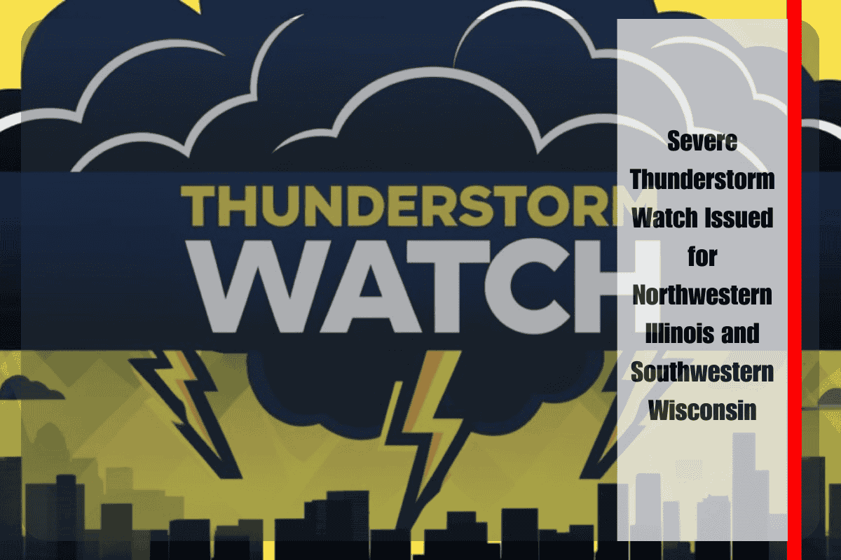
Rock Island, Illinois – Strong storms are targeting northwestern Illinois and southwestern Wisconsin this Friday afternoon, with a Severe Thunderstorm Watch in effect through 7 p.m. The storms pose a threat of localized power outages, wind damage, and heavy rainfall across the region.
The Storm Prediction Center has issued the watch for Carroll, Henry, Jo Daviess, Mercer, Rock Island, and Whiteside Counties in Illinois, along with Crawford and Grant Counties in Wisconsin. These storms could bring wind gusts over 60 mph and hail up to one inch in diameter. Flash flooding is possible, especially in low-lying and poorly drained areas, including those along the Mississippi River.
In the Quad Cities and nearby rural highways, visibility may rapidly deteriorate under heavy downpours. Local emergency management agencies are urging residents to secure outdoor items, stay alert for weather warnings, and avoid unnecessary travel until the storm threat passes.
Short-term power disruptions are possible in Davenport, Moline, and Freeport, where high winds and saturated ground may cause tree damage or downed power lines.
Storm activity is expected to ease by 7 p.m., although scattered rain showers could persist into the evening. Additional warnings may be issued if conditions worsen.


