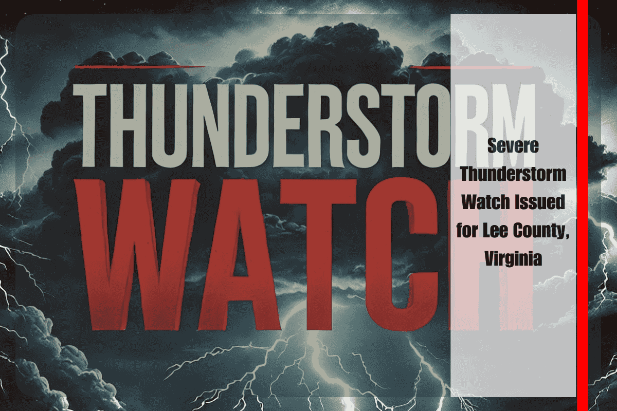
Residents of Pennington Gap, Jonesville, and surrounding rural communities in Lee County are being urged to take precautions as a Severe Thunderstorm Watch remains in effect until midnight Friday. According to the National Weather Service Storm Prediction Center, clusters of strong storms are expected to intensify this evening, bringing the threat of damaging winds, large hail, and frequent lightning.
Storm Threat Overview
Forecasters note that the combination of unstable air and evening storm development will fuel multiple rounds of thunderstorms across Southwest Virginia. The strongest storm cells could produce wind gusts exceeding 60 mph and hail up to the size of quarters, raising concerns for both property damage and public safety. Lightning activity is also expected to be frequent, increasing the danger of fires and power outages.
Travel and Infrastructure Concerns
Local emergency officials have issued warnings for motorists, particularly those traveling along U.S. Highway 58, a critical route connecting Pennington Gap and Jonesville. Downed trees and power lines remain a major hazard when severe winds strike, often leading to road closures and delays.
Rural areas in Lee County are especially vulnerable, as power outages in these communities can be prolonged due to limited infrastructure and long repair times. Residents should expect possible extended service interruptions if the storms cause widespread damage.
Safety Precautions for Residents
Authorities are urging the public to take several steps to prepare:
- Secure outdoor items such as patio furniture, grills, and trash bins, which can become dangerous projectiles in strong winds.
- Avoid unnecessary travel during heavy rain and storm periods to reduce the risk of accidents caused by flooding, fallen debris, or low visibility.
- Seek shelter indoors at the first sign of lightning, as strikes can occur miles away from the storm core.
- Charge phones, flashlights, and medical devices in advance of potential power outages to maintain communication and access to essential needs.
These simple preparations can make a significant difference in safety and comfort if conditions worsen.
Timing and Outlook
Meteorologists expect the severe threat to diminish after midnight, with storms weakening as instability decreases. However, lingering showers and occasional thunder may continue into early Saturday morning. While this watch is set to expire at midnight, officials caution that additional advisories or warnings could be issued if new storm cells intensify.
The situation remains dynamic, and weather conditions can change rapidly. Residents are advised to stay tuned to local news outlets, NOAA Weather Radio, and official alerts for the latest updates. Taking proactive steps now—such as preparing emergency kits and making a plan for family members—can help reduce risks during tonight’s severe weather.


