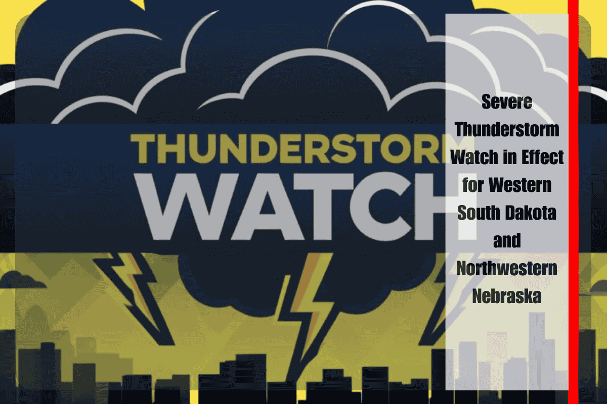
Rapid City, S.D. – Strong thunderstorms are expected to continue developing across western and central South Dakota overnight, prompting a Severe Thunderstorm Watch until 3 a.m. Saturday. The watch extends into northwestern Nebraska, including Cherry and Sheridan counties.
The National Weather Service Storm Prediction Center warns that these storms could bring damaging wind gusts exceeding 60 mph, large hail, and frequent lightning. South Dakota counties under the watch include Pennington, Meade, Lyman, Hughes, Jones, Todd, Tripp, Oglala Lakota, and others.
Travelers along I-90 near Rapid City and eastward toward Chamberlain may face rapidly changing conditions, including torrential downpours and reduced visibility. In Nebraska, areas near Valentine and Gordon may also be impacted as storms move east through the night.
Residents are urged to secure outdoor items, avoid travel during severe weather, and keep phones charged in case of power outages. The National Weather Service recommends seeking shelter indoors and staying away from windows during the storms.
The Severe Thunderstorm Watch remains in effect until 3 a.m. Saturday, with additional advisories possible if the storms persist into the morning.


