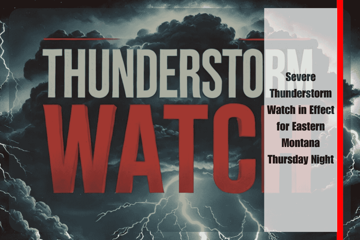
Billings, Montana – Eastern Montana is under a severe thunderstorm watch until 11 p.m. Thursday, with 17 counties—including Billings, Miles City, and Glendive—at risk for damaging storms. The National Weather Service (NWS) warns of heavy rain, hail up to an inch in diameter, and wind gusts exceeding 60 mph, which could lead to dangerous driving conditions and scattered power outages.
The watch covers areas such as Yellowstone, Big Horn, Roosevelt, and Custer counties. Forecasters advise drivers to avoid rural highways like US-212 and I-94 when storms approach, as reduced visibility, slick roads, and wind-blown debris could make travel hazardous.
Localized flooding may occur in low-lying areas, while strong winds could down trees and damage power lines. Officials urge residents to secure outdoor furniture or equipment, charge mobile devices in case of outages, and park vehicles in garages or under sturdy shelters to avoid hail damage.
Emergency managers remind the public never to drive through flooded roadways and to report any storm damage once conditions are safe.
Forecasters expect the storms to weaken overnight, but more showers and possible thunderstorms could return by Friday afternoon. The NWS may issue updated warnings if severe weather continues into the next day.
This active weather pattern highlights the need for residents to stay alert, monitor official updates, and take quick action to protect themselves and their property during severe storm events.


