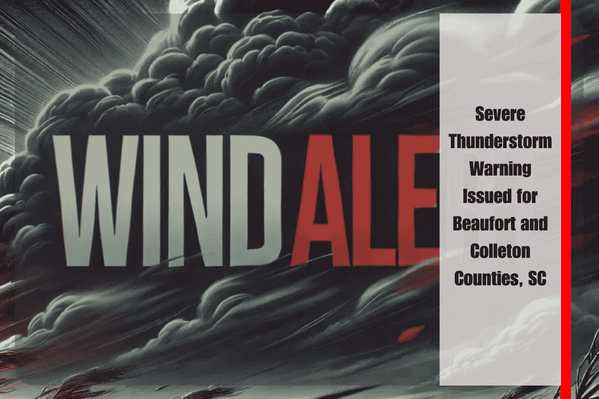
A strong line of thunderstorms is moving through southeastern South Carolina this evening, with the National Weather Service in Charleston issuing a Severe Thunderstorm Warning for Beaufort and Colleton counties until 9:15 p.m. Monday. Residents in these areas are urged to seek shelter immediately and prepare for potentially damaging winds.
Storm Details and Areas Affected
At 8:18 p.m., radar indicated that the severe thunderstorm was located five miles northeast of Ladys Island and moving southeast at 5 mph. The storm is expected to bring wind gusts up to 60 mph, which could cause significant damage to roofs, siding, trees, and other property along its path.
Communities most at risk include Beaufort, Ladys Island, Coosaw Island, Sams Point, Daniels, Chisolm Point, Dataw Island, Eddings Point, Ashdale, and Walling Grove. Authorities are advising residents in these areas to seek shelter in well-built structures and stay away from windows until the warning expires.
Safety Recommendations
While no large hail has been detected with this storm, the primary concern remains the strong winds. The National Weather Service urges all residents in the affected areas to take immediate action and stay inside until the storm has passed. It is also important to monitor local weather alerts and stay informed about any new developments.
If you experience any storm damage, please report it to the Charleston National Weather Service at 888-383-2024 once it is safe to do so.
The severe thunderstorm affecting Beaufort and Colleton counties is moving slowly and could cause significant damage due to strong winds. Residents are encouraged to take necessary precautions to protect themselves and their property, stay informed through weather updates, and report any damage to authorities once it is safe.


